Area Overview for BR2 8JD
Photos of BR2 8JD
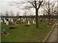
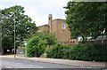
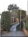
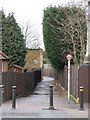
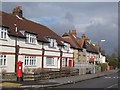
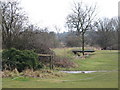
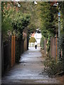
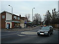
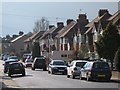
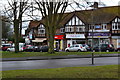
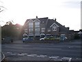
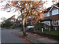
52 photos from this area
Area Information
Key information about the BR2 8JD including its size, population, and administrative classification.
- Area Type
- Postcode
- Area Size
- 7898 m²
- Population
- 2817
- Population Density
- 3003 people/km²
House Prices in BR2 8JD
24
Properties
£178,611
Average Sold Price
£45,000
Lowest Price
£328,000
Highest Price
Showing 24 properties
| Address | Type | Beds | Baths | Last Sale Price | Last Sale Date | |
|---|---|---|---|---|---|---|
| 109 Turpington Lane, Bromley, BR2 8JD | Maisonette | 3 | 1 | £300,000 | Mar 2021 | |
| 89 Turpington Lane, Bromley, BR2 8JD | Maisonette | 3 | 1 | £255,000 | Jun 2019 | |
| 107 Turpington Lane, Bromley, BR2 8JD | Semi-detached | 3 | - | £328,000 | Nov 2015 | |
| 77 Turpington Lane, Bromley, BR2 8JD | Terraced | - | - | £236,500 | Jun 2007 | |
| 113 Turpington Lane, Bromley, BR2 8JD | Maisonette | - | - | £159,000 | Oct 2006 | |
| 79 Turpington Lane, Bromley, BR2 8JD | Terraced | - | - | £190,000 | Aug 2006 | |
| 83 Turpington Lane, Bromley, BR2 8JD | Flat | - | - | £49,000 | Feb 1997 | |
| 85 Turpington Lane, Bromley, BR2 8JD | Flat | - | - | £45,000 | Jan 1997 | |
| 81 Turpington Lane, Bromley, BR2 8JD | Flat | - | - | £45,000 | Feb 1996 | |
| 87 Turpington Lane, Bromley, BR2 8JD | Maisonette | - | - | - | - |
Page 1 of 3
Energy Efficiency in BR2 8JD
Amenities
Schools
| Rank | School | Type | Entry gender | Ages |
|---|
Explore more schools in this area
Go to Schools tabDemographics
Household Size
Family (3-5 people)
most common
Accommodation Type
Flats
most common
Tenure
44
majority
Ethnic Group
White
most common
Religion
N/A
most common
Household Composition
N/A
most common
Age
47
median
Adults (30-64 years)
most common
Household Deprivation
N/A
with no deprivation
NS-SEC
34
in Lower managerial occupations
Explore more demographic insights in this area
Go to Demographics tabPlanning
Planning Constraints
- Flood RiskPremium
- Ramsar Wetland SitesPremium
- Area of Outstanding Natural BeautyPremium
- Protected Nature ReservePremium
- Protected WoodlandPremium