Area Overview for BR2 8JA
Photos of BR2 8JA
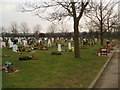
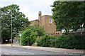
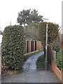
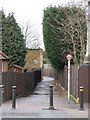
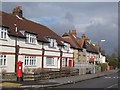
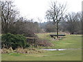
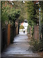
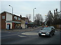
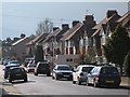
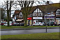
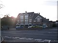
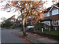
52 photos from this area
Area Information
Key information about the BR2 8JA including its size, population, and administrative classification.
- Area Type
- Postcode
- Area Size
- 1.8 hectares
- Population
- 2817
- Population Density
- 3003 people/km²
House Prices in BR2 8JA
46
Properties
£277,000
Average Sold Price
£65,000
Lowest Price
£540,000
Highest Price
Showing 46 properties
| Address | Type | Beds | Baths | Last Sale Price | Last Sale Date | |
|---|---|---|---|---|---|---|
| 25 Turpington Lane, Bromley, BR2 8JA | Terraced | 3 | 1 | £540,000 | Dec 2024 | |
| 33 Turpington Lane, Bromley, BR2 8JA | Terraced | 3 | 1 | £533,000 | Apr 2024 | |
| 69 Turpington Lane, Bromley, BR2 8JA | Terraced | 3 | 2 | £387,000 | Jan 2023 | |
| 13 Turpington Lane, Bromley, BR2 8JA | house | - | - | £500,000 | Sep 2021 | |
| 41 Turpington Lane, Bromley, BR2 8JA | house | - | - | £300,000 | Feb 2020 | |
| 63 Turpington Lane, Bromley, BR2 8JA | Terraced | 3 | 1 | £405,000 | Sep 2019 | |
| 47 Turpington Lane, Bromley, BR2 8JA | Terraced | - | - | £245,000 | Mar 2006 | |
| 7 Turpington Lane, Bromley, BR2 8JA | Semi-detached | - | - | £242,000 | Sep 2004 | |
| 27 Turpington Lane, Bromley, BR2 8JA | house | 3 | - | £112,500 | May 2001 | |
| 35 Turpington Lane, Bromley, BR2 8JA | Terraced | - | - | £115,000 | Jan 2001 |
Page 1 of 5
Energy Efficiency in BR2 8JA
Amenities
Schools
| Rank | School | Type | Entry gender | Ages |
|---|
Explore more schools in this area
Go to Schools tabDemographics
Household Size
Family (3-5 people)
most common
Accommodation Type
Flats
most common
Tenure
44
majority
Ethnic Group
White
most common
Religion
N/A
most common
Household Composition
N/A
most common
Age
47
median
Adults (30-64 years)
most common
Household Deprivation
N/A
with no deprivation
NS-SEC
34
in Lower managerial occupations
Explore more demographic insights in this area
Go to Demographics tabPlanning
Planning Constraints
- Flood RiskPremium
- Ramsar Wetland SitesPremium
- Area of Outstanding Natural BeautyPremium
- Protected Nature ReservePremium
- Protected WoodlandPremium