Area Overview for BR2 8EF
Photos of BR2 8EF
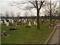
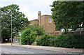
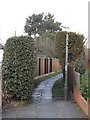
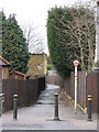
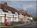
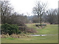
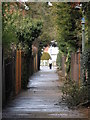
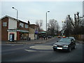
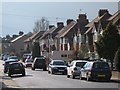
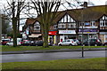
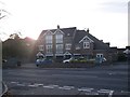
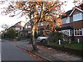
52 photos from this area
Area Information
Key information about the BR2 8EF including its size, population, and administrative classification.
- Area Type
- Postcode
- Area Size
- 9349 m²
- Population
- 1803
- Population Density
- 3444 people/km²
House Prices in BR2 8EF
27
Properties
£268,966
Average Sold Price
£64,000
Lowest Price
£525,000
Highest Price
Showing 27 properties
| Address | Type | Beds | Baths | Last Sale Price | Last Sale Date | |
|---|---|---|---|---|---|---|
| 27 Holbrook Way, Bromley, BR2 8EF | Semi-detached | 3 | 1 | £503,500 | Oct 2024 | |
| 3 Holbrook Way, Bromley, BR2 8EF | Semi-detached | 3 | 2 | £525,000 | Nov 2021 | |
| 21 Holbrook Way, Bromley, BR2 8EF | Semi-detached | 3 | - | £418,000 | May 2021 | |
| 37 Holbrook Way, Bromley, BR2 8EF | Semi-detached | 3 | 1 | £440,000 | Jun 2020 | |
| 33 Holbrook Way, Bromley, BR2 8EF | Terraced | 3 | 2 | £420,000 | Mar 2020 | |
| 45 Holbrook Way, Bromley, BR2 8EF | Terraced | 3 | - | £499,950 | Jul 2018 | |
| 25 Holbrook Way, Bromley, BR2 8EF | house | - | - | £238,000 | Apr 2013 | |
| 1 Holbrook Way, Bromley, BR2 8EF | Semi-detached | 3 | 1 | £225,000 | Jun 2008 | |
| 29 Holbrook Way, Bromley, BR2 8EF | Semi-detached | 3 | 1 | £240,000 | Feb 2008 | |
| 31 Holbrook Way, Bromley, BR2 8EF | Terraced | - | - | £211,000 | Jan 2004 |
Page 1 of 3
Energy Efficiency in BR2 8EF
Amenities
Schools
| Rank | School | Type | Entry gender | Ages |
|---|
Explore more schools in this area
Go to Schools tabDemographics
Household Size
Family (3-5 people)
most common
Accommodation Type
Houses
most common
Tenure
74
majority
Ethnic Group
White
most common
Religion
N/A
most common
Household Composition
N/A
most common
Age
47
median
Adults (30-64 years)
most common
Household Deprivation
N/A
with no deprivation
NS-SEC
37
in Lower managerial occupations
Explore more demographic insights in this area
Go to Demographics tabPlanning
Planning Constraints
- Flood RiskPremium
- Ramsar Wetland SitesPremium
- Area of Outstanding Natural BeautyPremium
- Protected Nature ReservePremium
- Protected WoodlandPremium