Area Overview for BR2 8ED
Photos of BR2 8ED
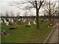
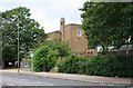
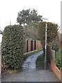
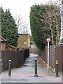
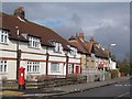
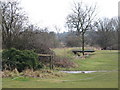
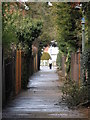
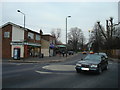
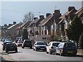
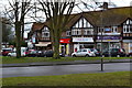
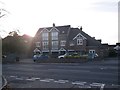
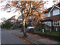
52 photos from this area
Area Information
Key information about the BR2 8ED including its size, population, and administrative classification.
- Area Type
- Postcode
- Area Size
- 5.4 hectares
- Population
- 1803
- Population Density
- 3444 people/km²
House Prices in BR2 8ED
20
Properties
£334,723
Average Sold Price
£92,500
Lowest Price
£616,000
Highest Price
Showing 20 properties
| Address | Type | Beds | Baths | Last Sale Price | Last Sale Date | |
|---|---|---|---|---|---|---|
| 31 Magpie Hall Lane, Bromley, BR2 8ED | Detached | 3 | 1 | £616,000 | Aug 2022 | |
| 17 Magpie Hall Lane, Bromley, BR2 8ED | Semi-detached | - | - | £500,000 | Jun 2021 | |
| Racecourse Cottage, 37A Magpie Hall Lane, Bromley, BR2 8ED | Detached | 4 | 3 | £400,000 | Mar 2018 | |
| 5 Magpie Hall Lane, Bromley, BR2 8ED | Semi-detached | 4 | 2 | £480,000 | Jan 2017 | |
| 11 Magpie Hall Lane, Bromley, BR2 8ED | house | - | - | £415,000 | Oct 2011 | |
| 23 Magpie Hall Lane, Bromley, BR2 8ED | house | - | - | £342,500 | Jan 2010 | |
| 29 Magpie Hall Lane, Bromley, BR2 8ED | Semi-detached | - | - | £312,000 | Jul 2009 | |
| 7 Magpie Hall Lane, Bromley, BR2 8ED | Semi-detached | 3 | 1 | £279,950 | Jun 2006 | |
| 27 Magpie Hall Lane, Bromley, BR2 8ED | Detached | 4 | 2 | £130,000 | Mar 2000 | |
| 25 Magpie Hall Lane, Bromley, BR2 8ED | Semi-detached | - | - | £92,500 | Aug 1996 |
Page 1 of 2
Energy Efficiency in BR2 8ED
Amenities
Schools
| Rank | School | Type | Entry gender | Ages |
|---|
Explore more schools in this area
Go to Schools tabDemographics
Household Size
Family (3-5 people)
most common
Accommodation Type
Houses
most common
Tenure
74
majority
Ethnic Group
White
most common
Religion
N/A
most common
Household Composition
N/A
most common
Age
47
median
Adults (30-64 years)
most common
Household Deprivation
N/A
with no deprivation
NS-SEC
37
in Lower managerial occupations
Explore more demographic insights in this area
Go to Demographics tabPlanning
Planning Constraints
- Flood RiskPremium
- Ramsar Wetland SitesPremium
- Area of Outstanding Natural BeautyPremium
- Protected Nature ReservePremium
- Protected WoodlandPremium