Area Overview for BR2 7JR
Photos of BR2 7JR
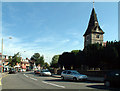
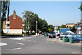
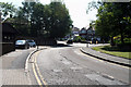
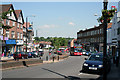
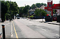
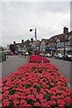
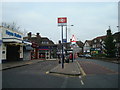
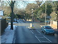

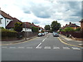
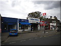
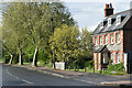
99 photos from this area
Area Information
Key information about the BR2 7JR including its size, population, and administrative classification.
- Area Type
- Postcode
- Area Size
- 1.4 hectares
- Population
- 1631
- Population Density
- 5157 people/km²
House Prices in BR2 7JR
27
Properties
£533,583
Average Sold Price
£163,000
Lowest Price
£1,100,000
Highest Price
Showing 27 properties
| Address | Type | Beds | Baths | Last Sale Price | Last Sale Date | |
|---|---|---|---|---|---|---|
| 34 Stanhope Avenue, Hayes, Bromley, BR2 7JR | Semi-detached | 4 | 2 | £820,000 | Feb 2025 | |
| 8 Stanhope Avenue, Hayes, Bromley, BR2 7JR | Detached | 3 | 1 | £815,000 | Dec 2023 | |
| 24 Stanhope Avenue, Hayes, Bromley, BR2 7JR | house | 3 | - | £1,100,000 | Apr 2022 | |
| 9 Stanhope Avenue, Hayes, Bromley, BR2 7JR | house | - | - | £880,000 | Jun 2021 | |
| 11 Stanhope Avenue, Hayes, Bromley, BR2 7JR | house | - | - | £700,000 | Apr 2021 | |
| 22 Stanhope Avenue, Hayes, Bromley, BR2 7JR | house | - | - | £725,000 | Nov 2018 | |
| 4 Stanhope Avenue, Hayes, Bromley, BR2 7JR | house | - | - | £595,000 | Oct 2018 | |
| 17 Stanhope Avenue, Hayes, Bromley, BR2 7JR | house | - | - | £820,000 | Dec 2016 | |
| 12 Stanhope Avenue, Hayes, Bromley, BR2 7JR | house | - | - | £495,000 | Dec 2012 | |
| 19 Stanhope Avenue, Hayes, Bromley, BR2 7JR | house | - | - | £479,972 | May 2010 |
Page 1 of 3
Energy Efficiency in BR2 7JR
Amenities
Schools
| Rank | School | Type | Entry gender | Ages |
|---|
Explore more schools in this area
Go to Schools tabDemographics
Household Size
Family (3-5 people)
most common
Accommodation Type
Houses
most common
Tenure
95
majority
Ethnic Group
White
most common
Religion
N/A
most common
Household Composition
N/A
most common
Age
47
median
Adults (30-64 years)
most common
Household Deprivation
N/A
with no deprivation
NS-SEC
47
in Lower managerial occupations
Explore more demographic insights in this area
Go to Demographics tabPlanning
Planning Constraints
- Flood RiskPremium
- Ramsar Wetland SitesPremium
- Area of Outstanding Natural BeautyPremium
- Protected Nature ReservePremium
- Protected WoodlandPremium