Area Overview for BR2 7JE
Photos of BR2 7JE
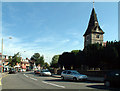
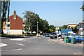
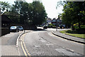
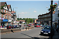
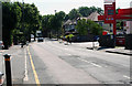
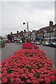
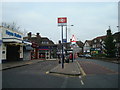
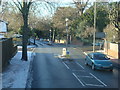

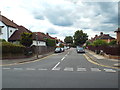
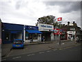
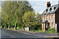
99 photos from this area
Area Information
Key information about the BR2 7JE including its size, population, and administrative classification.
- Area Type
- Postcode
- Area Size
- 2.1 hectares
- Population
- 1631
- Population Density
- 5157 people/km²
House Prices in BR2 7JE
28
Properties
£455,438
Average Sold Price
£138,000
Lowest Price
£775,000
Highest Price
Showing 28 properties
| Address | Type | Beds | Baths | Last Sale Price | Last Sale Date | |
|---|---|---|---|---|---|---|
| 3 Pickhurst Lane, Hayes, Bromley, BR2 7JE | Detached | 4 | 2 | £775,000 | Sep 2024 | |
| 39 Pickhurst Lane, Hayes, Bromley, BR2 7JE | Semi-detached | 5 | 2 | £715,000 | Jan 2024 | |
| 21 Pickhurst Lane, Hayes, Bromley, BR2 7JE | Retail | 3 | 1 | £705,000 | Mar 2022 | |
| 45 Pickhurst Lane, Hayes, Bromley, BR2 7JE | house | - | - | £775,000 | Oct 2019 | |
| 53 Pickhurst Lane, Hayes, Bromley, BR2 7JE | house | - | - | £544,000 | Mar 2019 | |
| 19 Pickhurst Lane, Hayes, Bromley, BR2 7JE | house | - | - | £600,000 | Oct 2015 | |
| 51 Pickhurst Lane, Hayes, Bromley, BR2 7JE | Semi-detached | 4 | - | £560,000 | Sep 2014 | |
| 13 Pickhurst Lane, Hayes, Bromley, BR2 7JE | house | - | - | £375,000 | Feb 2011 | |
| 15 Pickhurst Lane, Hayes, Bromley, BR2 7JE | house | - | - | £390,000 | Feb 2010 | |
| 41 Pickhurst Lane, Hayes, Bromley, BR2 7JE | house | - | - | £325,000 | Sep 2009 |
Page 1 of 3
Energy Efficiency in BR2 7JE
Amenities
Schools
| Rank | School | Type | Entry gender | Ages |
|---|
Explore more schools in this area
Go to Schools tabDemographics
Household Size
Family (3-5 people)
most common
Accommodation Type
Houses
most common
Tenure
95
majority
Ethnic Group
White
most common
Religion
N/A
most common
Household Composition
N/A
most common
Age
47
median
Adults (30-64 years)
most common
Household Deprivation
N/A
with no deprivation
NS-SEC
47
in Lower managerial occupations
Explore more demographic insights in this area
Go to Demographics tabPlanning
Planning Constraints
- Flood RiskPremium
- Ramsar Wetland SitesPremium
- Area of Outstanding Natural BeautyPremium
- Protected Nature ReservePremium
- Protected WoodlandPremium