Area Overview for BR2 6DG
Photos of BR2 6DG
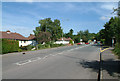
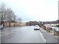
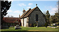
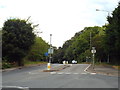
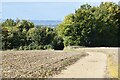
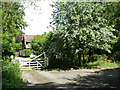
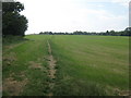
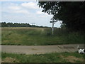
31 photos from this area
Area Information
Key information about the BR2 6DG including its size, population, and administrative classification.
- Area Type
- Postcode
- Area Size
- 28.5 hectares
- Population
- 2029
- Population Density
- 204 people/km²
House Prices in BR2 6DG
31
Properties
£627,000
Average Sold Price
£290,000
Lowest Price
£1,000,000
Highest Price
Showing 31 properties
| Address | Type | Beds | Baths | Last Sale Price | Last Sale Date | |
|---|---|---|---|---|---|---|
| 79 Leaves Green Road, Keston, BR2 6DG | Bungalow | 2 | 1 | £600,000 | Sep 2024 | |
| 113 Leaves Green Road, Keston, BR2 6DG | Bungalow | 2 | 1 | £550,000 | Jan 2024 | |
| 81 Leaves Green Road, Keston, BR2 6DG | Bungalow | 3 | 2 | £750,000 | Nov 2023 | |
| 121 Leaves Green Road, Keston, BR2 6DG | Bungalow | 5 | 4 | £598,000 | Sep 2022 | |
| 109 Leaves Green Road, Keston, BR2 6DG | house | - | - | £885,000 | Oct 2021 | |
| 83 Leaves Green Road, Keston, BR2 6DG | Bungalow | 3 | - | £610,000 | May 2020 | |
| 131 Leaves Green Road, Keston, BR2 6DG | Semi-detached | 4 | 2 | £632,500 | Oct 2019 | |
| 129 Leaves Green Road, Keston, BR2 6DG | house | 2 | - | £1,000,000 | Jan 2018 | |
| 89 Leaves Green Road, Keston, BR2 6DG | Bungalow | 4 | - | £650,000 | Oct 2014 | |
| 95 Leaves Green Road, Keston, BR2 6DG | Detached | 4 | - | £875,000 | Sep 2014 |
Page 1 of 4
Energy Efficiency in BR2 6DG
Amenities
Schools
| Rank | School | Type | Entry gender | Ages |
|---|
Explore more schools in this area
Go to Schools tabDemographics
Household Size
Family (3-5 people)
most common
Accommodation Type
Houses
most common
Tenure
79
majority
Ethnic Group
White
most common
Religion
N/A
most common
Household Composition
N/A
most common
Age
47
median
Adults (30-64 years)
most common
Household Deprivation
N/A
with no deprivation
NS-SEC
39
in Lower managerial occupations
Explore more demographic insights in this area
Go to Demographics tabPlanning
Planning Constraints
- Flood RiskPremium
- Ramsar Wetland SitesPremium
- Area of Outstanding Natural BeautyPremium
- Protected Nature ReservePremium
- Protected WoodlandPremium