Area Overview for BR1 5QE
Photos of BR1 5QE


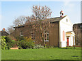
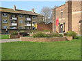
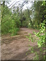
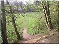
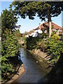
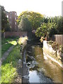
100 photos from this area
Area Information
Key information about the BR1 5QE including its size, population, and administrative classification.
- Area Type
- Postcode
- Area Size
- 1.4 hectares
- Population
- 1785
- Population Density
- 6900 people/km²
House Prices in BR1 5QE
48
Properties
£234,347
Average Sold Price
£64,500
Lowest Price
£430,000
Highest Price
Showing 48 properties
| Address | Type | Beds | Baths | Last Sale Price | Last Sale Date | |
|---|---|---|---|---|---|---|
| 141 Downderry Road, Bromley, BR1 5QE | Terraced | 3 | 1 | £430,000 | Sep 2024 | |
| 99 Downderry Road, Bromley, BR1 5QE | Terraced | 2 | 1 | £400,000 | Dec 2023 | |
| 151 Downderry Road, Bromley, BR1 5QE | Terraced | 2 | 1 | £390,000 | Jun 2023 | |
| 107 Downderry Road, Bromley, BR1 5QE | Terraced | 2 | 1 | £312,000 | Nov 2019 | |
| 109 Downderry Road, Bromley, BR1 5QE | Terraced | 2 | 1 | £362,500 | Sep 2019 | |
| 155 Downderry Road, Bromley, BR1 5QE | house | - | - | £310,000 | Apr 2019 | |
| 97 Downderry Road, Bromley, BR1 5QE | Terraced | 2 | 1 | £291,000 | Mar 2019 | |
| 147 Downderry Road, Bromley, BR1 5QE | Terraced | 3 | - | £400,000 | Mar 2019 | |
| 121 Downderry Road, Bromley, BR1 5QE | house | 3 | 1 | £320,000 | Mar 2016 | |
| 153 Downderry Road, Bromley, BR1 5QE | house | - | - | £198,000 | Nov 2011 |
Page 1 of 5
Energy Efficiency in BR1 5QE
Amenities
Schools
| Rank | School | Type | Entry gender | Ages |
|---|
Explore more schools in this area
Go to Schools tabDemographics
Household Size
Family (3-5 people)
most common
Accommodation Type
Houses
most common
Tenure
74
majority
Ethnic Group
White
most common
Religion
N/A
most common
Household Composition
N/A
most common
Age
47
median
Adults (30-64 years)
most common
Household Deprivation
N/A
with no deprivation
NS-SEC
33
in Lower managerial occupations
Explore more demographic insights in this area
Go to Demographics tabPlanning
Planning Constraints
- Flood RiskPremium
- Ramsar Wetland SitesPremium
- Area of Outstanding Natural BeautyPremium
- Protected Nature ReservePremium
- Protected WoodlandPremium