Area Overview for BR1 5ER
Photos of BR1 5ER
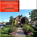
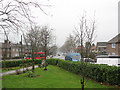
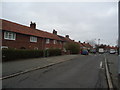
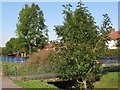
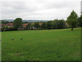
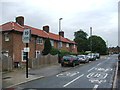
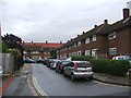
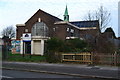
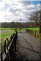
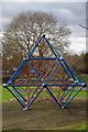
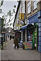
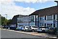
46 photos from this area
Area Information
Key information about the BR1 5ER including its size, population, and administrative classification.
- Area Type
- Postcode
- Area Size
- 1.5 hectares
- Population
- 1689
- Population Density
- 6516 people/km²
House Prices in BR1 5ER
57
Properties
£228,005
Average Sold Price
£50,000
Lowest Price
£435,000
Highest Price
Showing 57 properties
| Address | Type | Beds | Baths | Last Sale Price | Last Sale Date | |
|---|---|---|---|---|---|---|
| 58 Moorside Road, Bromley, BR1 5ER | Terraced | 4 | 3 | £435,000 | Nov 2023 | |
| 94 Moorside Road, Bromley, BR1 5ER | Terraced | 2 | 1 | £385,000 | Nov 2023 | |
| 100 Moorside Road, Bromley, BR1 5ER | Terraced | 2 | 1 | £365,000 | Jul 2022 | |
| 26 Moorside Road, Bromley, BR1 5ER | house | - | - | £405,000 | Mar 2022 | |
| 62 Moorside Road, Bromley, BR1 5ER | Terraced | 3 | 1 | £355,000 | Mar 2021 | |
| 90 Moorside Road, Bromley, BR1 5ER | Terraced | 3 | 1 | £375,000 | Mar 2020 | |
| 42 Moorside Road, Bromley, BR1 5ER | Terraced | 2 | 1 | £300,000 | Jul 2019 | |
| 78 Moorside Road, Bromley, BR1 5ER | Semi-detached | 3 | 1 | £315,000 | Jun 2019 | |
| 110 Moorside Road, Bromley, BR1 5ER | Terraced | 3 | 1 | £325,000 | Oct 2017 | |
| 124 Moorside Road, Bromley, BR1 5ER | Terraced | 3 | - | £345,000 | Oct 2017 |
Page 1 of 6
Energy Efficiency in BR1 5ER
Amenities
Schools
| Rank | School | Type | Entry gender | Ages |
|---|
Explore more schools in this area
Go to Schools tabDemographics
Household Size
Family (3-5 people)
most common
Accommodation Type
Houses
most common
Tenure
43
majority
Ethnic Group
White
most common
Religion
N/A
most common
Household Composition
N/A
most common
Age
47
median
Adults (30-64 years)
most common
Household Deprivation
N/A
with no deprivation
NS-SEC
27
in Lower managerial occupations
Explore more demographic insights in this area
Go to Demographics tabPlanning
Planning Constraints
- Flood RiskPremium
- Ramsar Wetland SitesPremium
- Area of Outstanding Natural BeautyPremium
- Protected Nature ReservePremium
- Protected WoodlandPremium