Area Overview for BR1 3PJ
Photos of BR1 3PJ
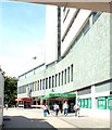
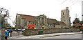
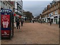
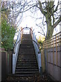
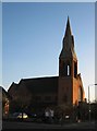
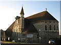
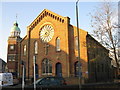
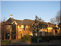
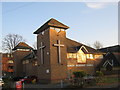
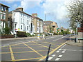
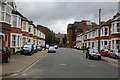
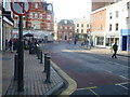
100 photos from this area
Area Information
Key information about the BR1 3PJ including its size, population, and administrative classification.
- Area Type
- Postcode
- Area Size
- 1.3 hectares
- Population
- 1402
- Population Density
- 8492 people/km²
House Prices in BR1 3PJ
29
Properties
£511,605
Average Sold Price
£131,500
Lowest Price
£1,043,000
Highest Price
Showing 29 properties
| Address | Type | Beds | Baths | Last Sale Price | Last Sale Date | |
|---|---|---|---|---|---|---|
| 25 Holligrave Road, Bromley, BR1 3PJ | Retail | 5 | - | £1,043,000 | Sep 2022 | |
| 7 Holligrave Road, Bromley, BR1 3PJ | house | - | - | £785,000 | May 2021 | |
| 8 Holligrave Road, Bromley, BR1 3PJ | Semi-detached | 4 | 2 | £845,000 | Aug 2020 | |
| 39 Holligrave Road, Bromley, BR1 3PJ | house | - | - | £760,000 | Mar 2020 | |
| 15 Holligrave Road, Bromley, BR1 3PJ | house | - | - | £875,000 | Feb 2017 | |
| 29 Holligrave Road, Bromley, BR1 3PJ | house | - | - | £825,000 | Dec 2016 | |
| 12 Holligrave Road, Bromley, BR1 3PJ | Semi-detached | 4 | 2 | £468,000 | Jul 2013 | |
| 11 Holligrave Road, Bromley, BR1 3PJ | Semi-detached | 4 | 1 | £472,500 | May 2013 | |
| 13 Holligrave Road, Bromley, BR1 3PJ | Semi-detached | - | - | £495,000 | Jun 2012 | |
| 1 Holligrave Road, Bromley, BR1 3PJ | Semi-detached | 4 | 2 | £525,000 | Jan 2008 |
Page 1 of 3
Energy Efficiency in BR1 3PJ
Amenities
Schools
| Rank | School | Type | Entry gender | Ages |
|---|
Explore more schools in this area
Go to Schools tabDemographics
Household Size
Family (3-5 people)
most common
Accommodation Type
Houses
most common
Tenure
60
majority
Ethnic Group
White
most common
Religion
N/A
most common
Household Composition
N/A
most common
Age
47
median
Adults (30-64 years)
most common
Household Deprivation
N/A
with no deprivation
NS-SEC
48
in Lower managerial occupations
Explore more demographic insights in this area
Go to Demographics tabPlanning
Planning Constraints
- Flood RiskPremium
- Ramsar Wetland SitesPremium
- Area of Outstanding Natural BeautyPremium
- Protected Nature ReservePremium
- Protected WoodlandPremium