Area Overview for BR1 3LN
Photos of BR1 3LN

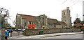
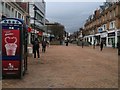
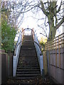
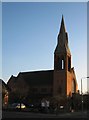
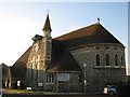
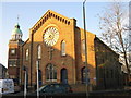
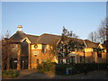
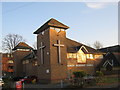
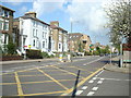
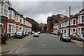
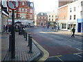
100 photos from this area
Area Information
Key information about the BR1 3LN including its size, population, and administrative classification.
- Area Type
- Postcode
- Area Size
- 7488 m²
- Population
- 1402
- Population Density
- 8492 people/km²
House Prices in BR1 3LN
24
Properties
£315,825
Average Sold Price
£75,000
Lowest Price
£770,000
Highest Price
Showing 24 properties
| Address | Type | Beds | Baths | Last Sale Price | Last Sale Date | |
|---|---|---|---|---|---|---|
| 13 Babbacombe Road, Bromley, BR1 3LN | Semi-detached | 5 | 2 | £310,000 | Sep 2024 | |
| 15 Babbacombe Road, Bromley, BR1 3LN | house | - | - | £770,000 | Mar 2020 | |
| 5 Babbacombe Road, Bromley, BR1 3LN | Flat | - | - | £337,000 | Aug 2016 | |
| 7B Babbacombe Road, Bromley, BR1 3LN | Flat | 2 | 1 | £250,000 | Aug 2016 | |
| 31 Babbacombe Road, Bromley, BR1 3LN | house | - | - | £550,000 | Aug 2015 | |
| 25 Babbacombe Road, Bromley, BR1 3LN | house | - | - | £495,000 | May 2015 | |
| 3A Babbacombe Road, Bromley, BR1 3LN | Flat | - | - | £235,000 | Aug 2014 | |
| 35 Babbacombe Road, Bromley, BR1 3LN | Detached | 4 | 1 | £600,000 | Mar 2014 | |
| 5A Babbacombe Road, Bromley, BR1 3LN | Flat | - | - | £174,000 | Aug 2013 | |
| 3 Babbacombe Road, Bromley, BR1 3LN | Flat | - | - | £205,000 | Oct 2007 |
Page 1 of 3
Energy Efficiency in BR1 3LN
Amenities
Schools
| Rank | School | Type | Entry gender | Ages |
|---|
Explore more schools in this area
Go to Schools tabDemographics
Household Size
Family (3-5 people)
most common
Accommodation Type
Houses
most common
Tenure
60
majority
Ethnic Group
White
most common
Religion
N/A
most common
Household Composition
N/A
most common
Age
47
median
Adults (30-64 years)
most common
Household Deprivation
N/A
with no deprivation
NS-SEC
48
in Lower managerial occupations
Explore more demographic insights in this area
Go to Demographics tabPlanning
Planning Constraints
- Flood RiskPremium
- Ramsar Wetland SitesPremium
- Area of Outstanding Natural BeautyPremium
- Protected Nature ReservePremium
- Protected WoodlandPremium