Area Overview for BR1 2PB
Photos of BR1 2PB
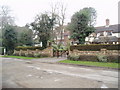
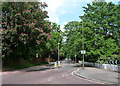
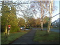
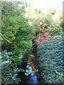
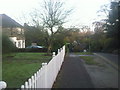
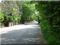
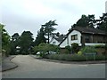
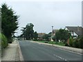
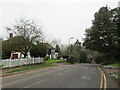
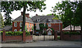

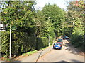
36 photos from this area
Area Information
Key information about the BR1 2PB including its size, population, and administrative classification.
- Area Type
- Postcode
- Area Size
- 1.2 hectares
- Population
- 1450
- Population Density
- 1858 people/km²
House Prices in BR1 2PB
12
Properties
£565,333
Average Sold Price
£160,000
Lowest Price
£990,000
Highest Price
Showing 12 properties
| Address | Type | Beds | Baths | Last Sale Price | Last Sale Date | |
|---|---|---|---|---|---|---|
| 8 Mavelstone Road, Bromley, BR1 2PB | Detached | 4 | 2 | £985,000 | Jun 2024 | |
| The Finches, 36 Mavelstone Road, Bromley, BR1 2PB | house | - | - | £935,000 | Jul 2019 | |
| Misty Wood, 34 Mavelstone Road, Bromley, BR1 2PB | Detached | 4 | - | £990,000 | Oct 2016 | |
| 4 Mavelstone Road, Bromley, BR1 2PB | Detached | 4 | - | £670,000 | Oct 2013 | |
| Manor Cottage, Mavelstone Road, Bromley, BR1 2PB | house | - | - | £366,000 | Dec 2009 | |
| High Birches, Mavelstone Road, Bromley, BR1 2PB | Detached | - | - | £495,000 | Mar 2002 | |
| Manor Lodge, Mavelstone Road, Bromley, BR1 2PB | Detached | - | - | £290,000 | Apr 2001 | |
| 2 Mavelstone Road, Bromley, BR1 2PB | Detached | - | - | £197,000 | Dec 1996 | |
| Autumns Grace, 38 Mavelstone Road, Bromley, BR1 2PB | Detached | - | - | £160,000 | Jun 1996 | |
| 40 Mavelstone Road, Bromley, BR1 2PB | Detached | 4 | 2 | - | - |
Page 1 of 2
Energy Efficiency in BR1 2PB
Amenities
Schools
| Rank | School | Type | Entry gender | Ages |
|---|
Explore more schools in this area
Go to Schools tabDemographics
Household Size
Family (3-5 people)
most common
Accommodation Type
Houses
most common
Tenure
90
majority
Ethnic Group
White
most common
Religion
N/A
most common
Household Composition
N/A
most common
Age
47
median
Adults (30-64 years)
most common
Household Deprivation
N/A
with no deprivation
NS-SEC
59
in Lower managerial occupations
Explore more demographic insights in this area
Go to Demographics tabPlanning
Planning Constraints
- Flood RiskPremium
- Ramsar Wetland SitesPremium
- Area of Outstanding Natural BeautyPremium
- Protected Nature ReservePremium
- Protected WoodlandPremium