Area Overview for BR1 2HY
Photos of BR1 2HY
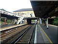
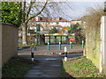
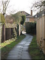
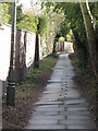
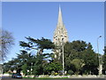
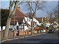
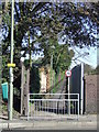
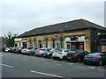
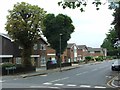
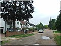
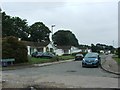
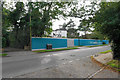
87 photos from this area
Area Information
Key information about the BR1 2HY including its size, population, and administrative classification.
- Area Type
- Postcode
- Area Size
- 1.7 hectares
- Population
- Not available
- Population Density
- Not available
House Prices in BR1 2HY
28
Properties
£556,268
Average Sold Price
£185,000
Lowest Price
£950,000
Highest Price
Showing 28 properties
| Address | Type | Beds | Baths | Last Sale Price | Last Sale Date | |
|---|---|---|---|---|---|---|
| 17 Albyfield, Bickley, Bromley, BR1 2HY | house | - | - | £812,500 | Feb 2025 | |
| 43 Albyfield, Bickley, Bromley, BR1 2HY | house | 5 | 2 | £950,000 | May 2023 | |
| 41 Albyfield, Bickley, Bromley, BR1 2HY | Detached | 4 | - | £771,500 | Mar 2017 | |
| 9 Albyfield, Bickley, Bromley, BR1 2HY | Terraced | 4 | 3 | £710,000 | Jul 2016 | |
| 47 Albyfield, Bickley, Bromley, BR1 2HY | house | - | - | £494,999 | Dec 2011 | |
| 59 Albyfield, Bickley, Bromley, BR1 2HY | house | - | - | £475,000 | Apr 2011 | |
| 33 Albyfield, Bickley, Bromley, BR1 2HY | house | 5 | - | £470,000 | May 2010 | |
| 45 Albyfield, Bickley, Bromley, BR1 2HY | Detached | 5 | 3 | £550,000 | Oct 2005 | |
| 57 Albyfield, Bickley, Bromley, BR1 2HY | Detached | - | - | £410,000 | Feb 2004 | |
| 29 Albyfield, Bickley, Bromley, BR1 2HY | Detached | - | - | £289,950 | Mar 2001 |
Page 1 of 3
Energy Efficiency in BR1 2HY
Amenities
Schools
| Rank | School | Type | Entry gender | Ages |
|---|
Explore more schools in this area
Go to Schools tabDemographics
Household Size
Family (3-5 people)
most common
Accommodation Type
Houses
most common
Tenure
76
majority
Ethnic Group
White
most common
Religion
N/A
most common
Household Composition
N/A
most common
Age
47
median
Adults (30-64 years)
most common
Household Deprivation
N/A
with no deprivation
NS-SEC
53
in Lower managerial occupations
Explore more demographic insights in this area
Go to Demographics tabPlanning
Planning Constraints
- Flood RiskPremium
- Ramsar Wetland SitesPremium
- Area of Outstanding Natural BeautyPremium
- Protected Nature ReservePremium
- Protected WoodlandPremium