Area Overview for WD18 7QX
Photos of WD18 7QX
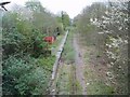
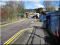
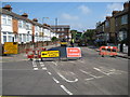
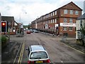
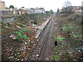
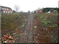
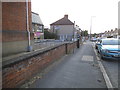
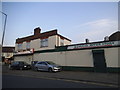
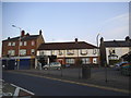
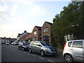
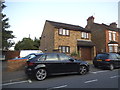
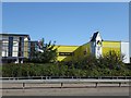
52 photos from this area
Area Information
Key information about the WD18 7QX including its size, population, and administrative classification.
- Area Type
- Postcode
- Area Size
- 3666 m²
- Population
- 1238
- Population Density
- 7694 people/km²
House Prices in WD18 7QX
14
Properties
£323,785
Average Sold Price
£218,500
Lowest Price
£495,000
Highest Price
Showing 14 properties
| Address | Type | Beds | Baths | Last Sale Price | Last Sale Date | |
|---|---|---|---|---|---|---|
| 110 Sydney Road, Watford, WD18 7QX | Semi-detached | 3 | 1 | £400,000 | Dec 2018 | |
| 90 Sydney Road, Watford, WD18 7QX | house | - | - | £495,000 | Oct 2017 | |
| 100 Sydney Road, Watford, WD18 7QX | Semi-detached | 4 | 2 | £427,000 | Jun 2017 | |
| 102 Sydney Road, Watford, WD18 7QX | house | - | - | £250,000 | Sep 2010 | |
| 92 Sydney Road, Watford, WD18 7QX | house | 3 | - | £236,000 | Jun 2010 | |
| 94 Sydney Road, Watford, WD18 7QX | house | 3 | - | £239,995 | Apr 2006 | |
| 106 Sydney Road, Watford, WD18 7QX | Terraced | - | - | £218,500 | Sep 2004 | |
| 98 Sydney Road, Watford, WD18 7QX | Semi-detached | 3 | 1 | - | - | |
| 96 Sydney Road, Watford, WD18 7QX | Semi-detached | 4 | - | - | - | |
| Flat 1, Sonar House, 477-479 Whippendell Road, Watford, WD18 7QX | Flat | - | - | - | - |
Page 1 of 2
Energy Efficiency in WD18 7QX
Amenities
Schools
| Rank | School | Type | Entry gender | Ages |
|---|
Explore more schools in this area
Go to Schools tabDemographics
Household Size
Family (3-5 people)
most common
Accommodation Type
Houses
most common
Tenure
55
majority
Ethnic Group
White
most common
Religion
N/A
most common
Household Composition
N/A
most common
Age
47
median
Adults (30-64 years)
most common
Household Deprivation
N/A
with no deprivation
NS-SEC
39
in Lower managerial occupations
Explore more demographic insights in this area
Go to Demographics tabPlanning
Planning Constraints
- Flood RiskPremium
- Ramsar Wetland SitesPremium
- Area of Outstanding Natural BeautyPremium
- Protected Nature ReservePremium
- Protected WoodlandPremium