Area Overview for WD18 6NX
Photos of WD18 6NX
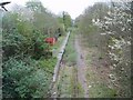
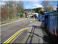
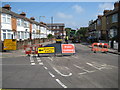
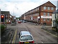
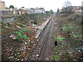
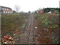
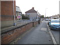
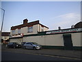
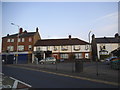
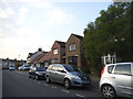
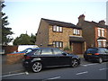
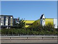
52 photos from this area
Area Information
Key information about the WD18 6NX including its size, population, and administrative classification.
- Area Type
- Postcode
- Area Size
- 1.9 hectares
- Population
- Not available
- Population Density
- Not available
House Prices in WD18 6NX
45
Properties
£322,316
Average Sold Price
£120,000
Lowest Price
£545,000
Highest Price
Showing 45 properties
| Address | Type | Beds | Baths | Last Sale Price | Last Sale Date | |
|---|---|---|---|---|---|---|
| 38 Chesham Way, Watford, WD18 6NX | Terraced | 3 | 1 | £435,000 | Aug 2025 | |
| 44 Chesham Way, Watford, WD18 6NX | Terraced | 3 | 1 | £426,000 | May 2024 | |
| 2 Chesham Way, Watford, WD18 6NX | Terraced | 3 | 1 | £465,000 | Jan 2023 | |
| 9 Chesham Way, Watford, WD18 6NX | Detached | 3 | 1 | £425,000 | Mar 2021 | |
| 19 Chesham Way, Watford, WD18 6NX | Terraced | 3 | 1 | £425,000 | Nov 2020 | |
| 35 Chesham Way, Watford, WD18 6NX | house | 3 | 1 | £420,000 | Oct 2019 | |
| 17 Chesham Way, Watford, WD18 6NX | Terraced | 3 | 1 | £390,000 | May 2018 | |
| 29 Chesham Way, Watford, WD18 6NX | Semi-detached | 4 | - | £545,000 | Jan 2017 | |
| 8 Chesham Way, Watford, WD18 6NX | Terraced | 3 | 1 | £219,000 | Jul 2013 | |
| 11 Chesham Way, Watford, WD18 6NX | house | - | - | £289,000 | Jul 2013 |
Page 1 of 5
Energy Efficiency in WD18 6NX
Amenities
Schools
| Rank | School | Type | Entry gender | Ages |
|---|
Explore more schools in this area
Go to Schools tabDemographics
Household Size
Family (3-5 people)
most common
Accommodation Type
Flats
most common
Tenure
32
majority
Ethnic Group
White
most common
Religion
N/A
most common
Household Composition
N/A
most common
Age
47
median
Adults (30-64 years)
most common
Household Deprivation
N/A
with no deprivation
NS-SEC
24
in Lower managerial occupations
Explore more demographic insights in this area
Go to Demographics tabPlanning
Planning Constraints
- Flood RiskPremium
- Ramsar Wetland SitesPremium
- Area of Outstanding Natural BeautyPremium
- Protected Nature ReservePremium
- Protected WoodlandPremium