Area Overview for WD18 0HN
Photos of WD18 0HN

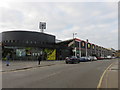
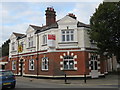
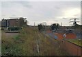
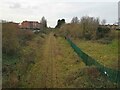
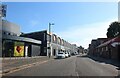
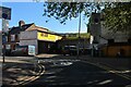
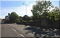
41 photos from this area
Area Information
Key information about the WD18 0HN including its size, population, and administrative classification.
- Area Type
- Postcode
- Area Size
- 8809 m²
- Population
- 1670
- Population Density
- 17378 people/km²
House Prices in WD18 0HN
47
Properties
£234,441
Average Sold Price
£47,000
Lowest Price
£425,000
Highest Price
Showing 47 properties
| Address | Type | Beds | Baths | Last Sale Price | Last Sale Date | |
|---|---|---|---|---|---|---|
| 53 Benskin Road, Watford, WD18 0HN | Terraced | 2 | 2 | £415,000 | Nov 2025 | |
| 71 Benskin Road, Watford, WD18 0HN | Terraced | 3 | 1 | £330,000 | May 2025 | |
| 87 Benskin Road, Watford, WD18 0HN | house | 2 | 1 | £425,000 | Jun 2022 | |
| 21 Benskin Road, Watford, WD18 0HN | Terraced | 2 | 1 | £348,000 | Mar 2021 | |
| 73 Benskin Road, Watford, WD18 0HN | Terraced | 3 | 1 | £335,000 | Jan 2019 | |
| 49 Benskin Road, Watford, WD18 0HN | Terraced | 3 | 1 | £360,000 | Jul 2017 | |
| 67 Benskin Road, Watford, WD18 0HN | Terraced | 3 | 2 | £350,000 | Mar 2017 | |
| 61 Benskin Road, Watford, WD18 0HN | Terraced | 2 | - | £304,250 | Feb 2016 | |
| 57 Benskin Road, Watford, WD18 0HN | house | - | - | £359,995 | Oct 2015 | |
| 23 Benskin Road, Watford, WD18 0HN | Terraced | 2 | - | £290,000 | Feb 2015 |
Page 1 of 5
Energy Efficiency in WD18 0HN
Amenities
Schools
| Rank | School | Type | Entry gender | Ages |
|---|
Explore more schools in this area
Go to Schools tabDemographics
Household Size
Family (3-5 people)
most common
Accommodation Type
Houses
most common
Tenure
51
majority
Ethnic Group
asian_total
most common
Religion
N/A
most common
Household Composition
N/A
most common
Age
47
median
Adults (30-64 years)
most common
Household Deprivation
N/A
with no deprivation
NS-SEC
27
in Lower managerial occupations
Explore more demographic insights in this area
Go to Demographics tabPlanning
Planning Constraints
- Flood RiskPremium
- Ramsar Wetland SitesPremium
- Area of Outstanding Natural BeautyPremium
- Protected Nature ReservePremium
- Protected WoodlandPremium