Area Overview for WD17 2QE
Photos of WD17 2QE
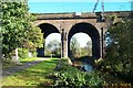
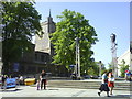
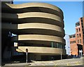
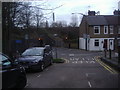
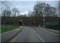
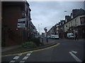

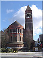
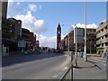
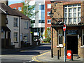
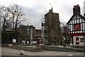
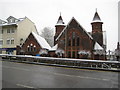
100 photos from this area
Area Information
Key information about the WD17 2QE including its size, population, and administrative classification.
- Area Type
- Postcode
- Area Size
- 5834 m²
- Population
- 1668
- Population Density
- 10761 people/km²
House Prices in WD17 2QE
20
Properties
£289,735
Average Sold Price
£90,000
Lowest Price
£417,000
Highest Price
Showing 20 properties
| Address | Type | Beds | Baths | Last Sale Price | Last Sale Date | |
|---|---|---|---|---|---|---|
| 23 Sutton Road, Watford, WD17 2QE | Terraced | 2 | 1 | £380,000 | Feb 2025 | |
| 35 Sutton Road, Watford, WD17 2QE | Terraced | 2 | 1 | £417,000 | Oct 2024 | |
| 25 Sutton Road, Watford, WD17 2QE | Terraced | 2 | 1 | £391,000 | Apr 2024 | |
| 59 Sutton Road, Watford, WD17 2QE | Terraced | 2 | 1 | £380,000 | Nov 2022 | |
| 39 Sutton Road, Watford, WD17 2QE | Terraced | 2 | 1 | £400,000 | Aug 2022 | |
| 61B Sutton Road, Watford, WD17 2QE | Flat | - | - | £90,000 | Mar 2022 | |
| 57 Sutton Road, Watford, WD17 2QE | Terraced | 1 | 1 | £355,000 | Nov 2020 | |
| 31 Sutton Road, Watford, WD17 2QE | Terraced | 2 | 1 | £330,000 | Oct 2017 | |
| 37 Sutton Road, Watford, WD17 2QE | house | 2 | - | £370,000 | Jun 2017 | |
| 51 Sutton Road, Watford, WD17 2QE | Terraced | 4 | 1 | £333,000 | May 2017 |
Page 1 of 2
Energy Efficiency in WD17 2QE
Amenities
Schools
| Rank | School | Type | Entry gender | Ages |
|---|
Explore more schools in this area
Go to Schools tabDemographics
Household Size
Two person
most common
Accommodation Type
Flats
most common
Tenure
33
majority
Ethnic Group
White
most common
Religion
N/A
most common
Household Composition
N/A
most common
Age
47
median
Adults (30-64 years)
most common
Household Deprivation
N/A
with no deprivation
NS-SEC
38
in Lower managerial occupations
Explore more demographic insights in this area
Go to Demographics tabPlanning
Planning Constraints
- Flood RiskPremium
- Ramsar Wetland SitesPremium
- Area of Outstanding Natural BeautyPremium
- Protected Nature ReservePremium
- Protected WoodlandPremium