Area Overview for SS5 6NE
Photos of SS5 6NE
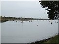
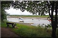
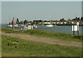
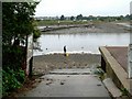
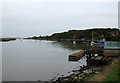
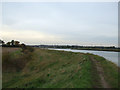
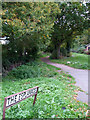
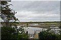
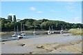

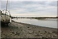
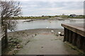
48 photos from this area
Area Information
Key information about the SS5 6NE including its size, population, and administrative classification.
- Area Type
- Postcode
- Area Size
- 6256 m²
- Population
- 1652
- Population Density
- 400 people/km²
House Prices in SS5 6NE
23
Properties
£245,500
Average Sold Price
£50,000
Lowest Price
£560,000
Highest Price
Showing 23 properties
| Address | Type | Beds | Baths | Last Sale Price | Last Sale Date | |
|---|---|---|---|---|---|---|
| 27 Wallace Close, Hullbridge, SS5 6NE | Detached | 4 | 4 | £560,000 | Jul 2025 | |
| 17 Wallace Close, Hullbridge, SS5 6NE | Terraced | 4 | 1 | £400,000 | Mar 2025 | |
| 5 Wallace Close, Hullbridge, SS5 6NE | Terraced | 3 | 1 | £280,000 | Jun 2024 | |
| 8 Wallace Close, Hullbridge, SS5 6NE | Detached | 3 | 1 | £312,500 | Jun 2024 | |
| 15 Wallace Close, Hullbridge, SS5 6NE | house | - | - | £263,000 | Aug 2019 | |
| 18 Wallace Close, Hullbridge, SS5 6NE | Semi-detached | 3 | 2 | £280,000 | Jun 2019 | |
| 19 Wallace Close, Hullbridge, SS5 6NE | Semi-detached | 4 | - | £274,000 | Jan 2019 | |
| 11 Wallace Close, Hullbridge, SS5 6NE | house | - | - | £260,000 | Aug 2018 | |
| 10 Wallace Close, Hullbridge, SS5 6NE | house | - | - | £210,000 | Jul 2018 | |
| 7 Wallace Close, Hullbridge, SS5 6NE | house | - | - | £260,000 | Jun 2017 |
Page 1 of 3
Energy Efficiency in SS5 6NE
Amenities
Schools
| Rank | School | Type | Entry gender | Ages |
|---|
Explore more schools in this area
Go to Schools tabDemographics
Household Size
One person
most common
Accommodation Type
Other
most common
Tenure
89
majority
Ethnic Group
White
most common
Religion
N/A
most common
Household Composition
N/A
most common
Age
47
median
Elderly (65+ years)
most common
Household Deprivation
N/A
with no deprivation
NS-SEC
24
in Lower managerial occupations
Explore more demographic insights in this area
Go to Demographics tabPlanning
Planning Constraints
- Flood RiskPremium
- Ramsar Wetland SitesPremium
- Area of Outstanding Natural BeautyPremium
- Protected Nature ReservePremium
- Protected WoodlandPremium