Area Overview for SS5 4RW
Photos of SS5 4RW
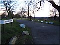
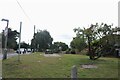
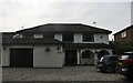
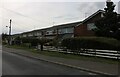
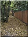
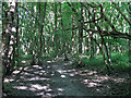
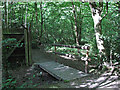
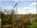
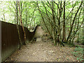

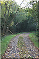
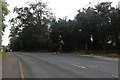
16 photos from this area
Area Information
Key information about the SS5 4RW including its size, population, and administrative classification.
- Area Type
- Postcode
- Area Size
- 1.7 hectares
- Population
- 2316
- Population Density
- 510 people/km²
House Prices in SS5 4RW
33
Properties
£286,389
Average Sold Price
£50,000
Lowest Price
£715,000
Highest Price
Showing 33 properties
| Address | Type | Beds | Baths | Last Sale Price | Last Sale Date | |
|---|---|---|---|---|---|---|
| 10, Follygate, 10 Aldermans Hill, Hockley, SS5 4RW | Flat | 3 | 2 | £325,000 | Oct 2023 | |
| 42 Aldermans Hill, Hockley, SS5 4RW | Chalet | 3 | 1 | £390,000 | Jun 2021 | |
| 20 Aldermans Hill, Hockley, SS5 4RW | Bungalow | - | - | £350,000 | Mar 2021 | |
| 58 Aldermans Hill, Hockley, SS5 4RW | Detached | 4 | 3 | £715,000 | Oct 2018 | |
| 48 Aldermans Hill, Hockley, SS5 4RW | house | - | - | £370,000 | Jun 2016 | |
| 56A Aldermans Hill, Hockley, SS5 4RW | Detached | 5 | - | £615,000 | Mar 2016 | |
| 34 Aldermans Hill, Hockley, SS5 4RW | Chalet | 3 | - | £345,000 | Jan 2016 | |
| 26 Aldermans Hill, Hockley, SS5 4RW | Semi-detached | 3 | - | £250,000 | Jan 2015 | |
| 32 Aldermans Hill, Hockley, SS5 4RW | Semi-detached | 2 | 2 | £220,000 | Jun 2014 | |
| 50 Aldermans Hill, Hockley, SS5 4RW | Chalet | 3 | - | £327,500 | Jan 2014 |
Page 1 of 4
Energy Efficiency in SS5 4RW
Amenities
Schools
| Rank | School | Type | Entry gender | Ages |
|---|
Explore more schools in this area
Go to Schools tabDemographics
Household Size
Family (3-5 people)
most common
Accommodation Type
Houses
most common
Tenure
92
majority
Ethnic Group
White
most common
Religion
N/A
most common
Household Composition
N/A
most common
Age
47
median
Adults (30-64 years)
most common
Household Deprivation
N/A
with no deprivation
NS-SEC
44
in Lower managerial occupations
Explore more demographic insights in this area
Go to Demographics tabPlanning
Planning Constraints
- Flood RiskPremium
- Ramsar Wetland SitesPremium
- Area of Outstanding Natural BeautyPremium
- Protected Nature ReservePremium
- Protected WoodlandPremium