Area Overview for SS2 4EN
Photos of SS2 4EN
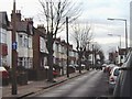
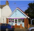
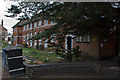
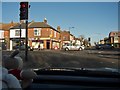
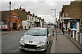
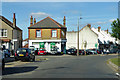
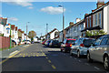
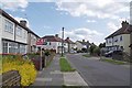
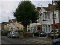
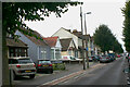
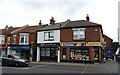
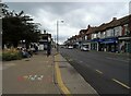
27 photos from this area
Area Information
Key information about the SS2 4EN including its size, population, and administrative classification.
- Area Type
- Postcode
- Area Size
- 7862 m²
- Population
- 1657
- Population Density
- 8809 people/km²
House Prices in SS2 4EN
26
Properties
£239,116
Average Sold Price
£89,995
Lowest Price
£390,000
Highest Price
Showing 26 properties
| Address | Type | Beds | Baths | Last Sale Price | Last Sale Date | |
|---|---|---|---|---|---|---|
| 236 North Avenue, Southend On Sea, SS2 4EN | Terraced | 4 | 1 | £310,000 | Aug 2024 | |
| 240 North Avenue, Southend On Sea, SS2 4EN | Terraced | 3 | 1 | £362,000 | Oct 2023 | |
| 296 North Avenue, Southend On Sea, SS2 4EN | Semi-detached | 3 | 2 | £390,000 | Aug 2022 | |
| 254 North Avenue, Southend On Sea, SS2 4EN | house | - | - | £290,000 | Jun 2021 | |
| 248 North Avenue, Southend On Sea, SS2 4EN | Bungalow | 3 | 2 | £347,000 | Dec 2020 | |
| 280 North Avenue, Southend On Sea, SS2 4EN | Semi-detached | 3 | 2 | £295,000 | Jan 2020 | |
| 250A North Avenue, Southend On Sea, SS2 4EN | Bungalow | - | - | £270,000 | Aug 2017 | |
| 282 North Avenue, Southend On Sea, SS2 4EN | Semi-detached | - | - | £210,000 | Sep 2014 | |
| 238 North Avenue, Southend On Sea, SS2 4EN | Terraced | 3 | - | £185,000 | Aug 2014 | |
| 242 North Avenue, Southend On Sea, SS2 4EN | Bungalow | 2 | 1 | £177,250 | Dec 2013 |
Page 1 of 3
Energy Efficiency in SS2 4EN
Amenities
Schools
| Rank | School | Type | Entry gender | Ages |
|---|
Explore more schools in this area
Go to Schools tabDemographics
Household Size
Family (3-5 people)
most common
Accommodation Type
Houses
most common
Tenure
68
majority
Ethnic Group
White
most common
Religion
N/A
most common
Household Composition
N/A
most common
Age
47
median
Adults (30-64 years)
most common
Household Deprivation
N/A
with no deprivation
NS-SEC
31
in Lower managerial occupations
Explore more demographic insights in this area
Go to Demographics tabPlanning
Planning Constraints
- Flood RiskPremium
- Ramsar Wetland SitesPremium
- Area of Outstanding Natural BeautyPremium
- Protected Nature ReservePremium
- Protected WoodlandPremium