Area Overview for SS15 5DY
Photos of SS15 5DY
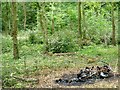
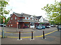
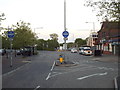
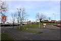
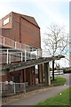
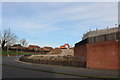
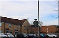
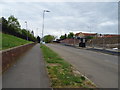
22 photos from this area
Area Information
Key information about the SS15 5DY including its size, population, and administrative classification.
- Area Type
- Postcode
- Area Size
- 1.3 hectares
- Population
- 1734
- Population Density
- 7000 people/km²
House Prices in SS15 5DY
26
Properties
£253,166
Average Sold Price
£82,495
Lowest Price
£368,000
Highest Price
Showing 26 properties
| Address | Type | Beds | Baths | Last Sale Price | Last Sale Date | |
|---|---|---|---|---|---|---|
| 16 Amberden, Basildon, SS15 5DY | Terraced | 3 | - | £368,000 | Jun 2022 | |
| 27 Amberden, Basildon, SS15 5DY | house | - | - | £355,000 | May 2022 | |
| 29 Amberden, Basildon, SS15 5DY | Terraced | 4 | - | £345,000 | Jun 2021 | |
| 3 Amberden, Basildon, SS15 5DY | Terraced | 3 | 1 | £290,000 | Jun 2021 | |
| 7 Amberden, Basildon, SS15 5DY | Terraced | 3 | 1 | £265,000 | Apr 2021 | |
| 32 Amberden, Basildon, SS15 5DY | house | - | - | £338,000 | Apr 2021 | |
| 1 Amberden, Basildon, SS15 5DY | Terraced | 3 | 1 | £252,000 | Apr 2019 | |
| 28 Amberden, Basildon, SS15 5DY | Terraced | 4 | 2 | £301,000 | Dec 2018 | |
| 4 Amberden, Basildon, SS15 5DY | house | - | - | £250,000 | May 2018 | |
| 6 Amberden, Basildon, SS15 5DY | Terraced | 3 | 2 | £228,000 | Jul 2017 |
Page 1 of 3
Energy Efficiency in SS15 5DY
Amenities
Schools
| Rank | School | Type | Entry gender | Ages |
|---|
Explore more schools in this area
Go to Schools tabDemographics
Household Size
Family (3-5 people)
most common
Accommodation Type
Houses
most common
Tenure
58
majority
Ethnic Group
White
most common
Religion
N/A
most common
Household Composition
N/A
most common
Age
47
median
Adults (30-64 years)
most common
Household Deprivation
N/A
with no deprivation
NS-SEC
26
in Lower managerial occupations
Explore more demographic insights in this area
Go to Demographics tabPlanning
Planning Constraints
- Flood RiskPremium
- Ramsar Wetland SitesPremium
- Area of Outstanding Natural BeautyPremium
- Protected Nature ReservePremium
- Protected WoodlandPremium