Area Overview for SS15 4EP
Photos of SS15 4EP
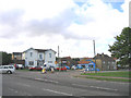
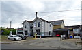
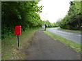
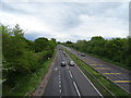
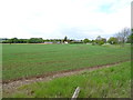
19 photos from this area
Area Information
Key information about the SS15 4EP including its size, population, and administrative classification.
- Area Type
- Postcode
- Area Size
- 34.6 hectares
- Population
- 1562
- Population Density
- 1471 people/km²
House Prices in SS15 4EP
26
Properties
£281,500
Average Sold Price
£45,000
Lowest Price
£550,000
Highest Price
Showing 26 properties
| Address | Type | Beds | Baths | Last Sale Price | Last Sale Date | |
|---|---|---|---|---|---|---|
| 4 Martindale Avenue, Laindon, SS15 4EP | house | 3 | - | £550,000 | Dec 2021 | |
| 17 Martindale Avenue, Laindon, SS15 4EP | Semi-detached | 5 | 1 | £445,000 | Mar 2018 | |
| 16 Martindale Avenue, Laindon, SS15 4EP | Semi-detached | 3 | 1 | £460,000 | Jan 2016 | |
| 1 Martindale Avenue, Laindon, SS15 4EP | Bungalow | 5 | - | £300,000 | Jun 2012 | |
| 8 Martindale Avenue, Laindon, SS15 4EP | Bungalow | - | - | £293,000 | Apr 2012 | |
| 2A Martindale Avenue, Laindon, SS15 4EP | Detached | 4 | 3 | £375,000 | Jan 2012 | |
| 14 Martindale Avenue, Laindon, SS15 4EP | Bungalow | 4 | - | £315,000 | Jul 2010 | |
| 2 Martindale Avenue, Laindon, SS15 4EP | Bungalow | 5 | - | £275,000 | Feb 2005 | |
| 15 Martindale Avenue, Laindon, SS15 4EP | Semi-detached | - | - | £175,000 | May 2001 | |
| 6 Martindale Avenue, Laindon, SS15 4EP | Semi-detached | - | - | £86,000 | Oct 1996 |
Page 1 of 3
Energy Efficiency in SS15 4EP
Amenities
Schools
| Rank | School | Type | Entry gender | Ages |
|---|
Explore more schools in this area
Go to Schools tabDemographics
Household Size
One person
most common
Accommodation Type
Houses
most common
Tenure
57
majority
Ethnic Group
White
most common
Religion
N/A
most common
Household Composition
N/A
most common
Age
47
median
Adults (30-64 years)
most common
Household Deprivation
N/A
with no deprivation
NS-SEC
31
in Lower managerial occupations
Explore more demographic insights in this area
Go to Demographics tabPlanning
Planning Constraints
- Flood RiskPremium
- Ramsar Wetland SitesPremium
- Area of Outstanding Natural BeautyPremium
- Protected Nature ReservePremium
- Protected WoodlandPremium