Area Overview for SS15 4EH
Photos of SS15 4EH
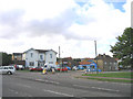
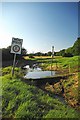
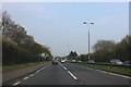
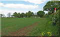
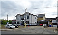
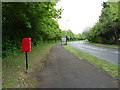

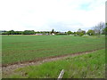
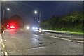
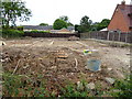
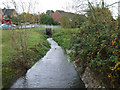
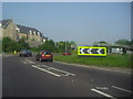
19 photos from this area
Area Information
Key information about the SS15 4EH including its size, population, and administrative classification.
- Area Type
- Postcode
- Area Size
- 1.6 hectares
- Population
- 1704
- Population Density
- 918 people/km²
House Prices in SS15 4EH
24
Properties
£292,176
Average Sold Price
£89,995
Lowest Price
£680,000
Highest Price
Showing 24 properties
| Address | Type | Beds | Baths | Last Sale Price | Last Sale Date | |
|---|---|---|---|---|---|---|
| 26 Church Road, Laindon, Basildon, SS15 4EH | Semi-detached | 2 | 1 | £450,000 | Sep 2024 | |
| Kingsgate, 32 Church Road, Laindon, Basildon, SS15 4EH | Detached | 4 | 2 | £680,000 | Aug 2024 | |
| 1 Church Road, Laindon, Basildon, SS15 4EH | Retail | 3 | 3 | £555,000 | Sep 2022 | |
| 11 Church Road, Laindon, Basildon, SS15 4EH | Detached | 3 | - | £393,000 | Sep 2021 | |
| 5 Church Road, Laindon, Basildon, SS15 4EH | Detached | 3 | 2 | £385,000 | Mar 2019 | |
| Stella, 2 Church Road, Laindon, Basildon, SS15 4EH | Bungalow | 3 | - | £280,000 | Sep 2013 | |
| 3 Church Road, Laindon, Basildon, SS15 4EH | Detached | 3 | 2 | £250,000 | Aug 2013 | |
| 19 Church Road, Laindon, Basildon, SS15 4EH | house | - | - | £215,000 | Nov 2007 | |
| 24 Church Road, Laindon, Basildon, SS15 4EH | house | 4 | - | £230,000 | Aug 2006 | |
| 16 Church Road, Laindon, Basildon, SS15 4EH | Semi-detached | - | - | £199,995 | Jul 2006 |
Page 1 of 3
Energy Efficiency in SS15 4EH
Amenities
Schools
| Rank | School | Type | Entry gender | Ages |
|---|
Explore more schools in this area
Go to Schools tabDemographics
Household Size
Family (3-5 people)
most common
Accommodation Type
Houses
most common
Tenure
76
majority
Ethnic Group
White
most common
Religion
N/A
most common
Household Composition
N/A
most common
Age
47
median
Adults (30-64 years)
most common
Household Deprivation
N/A
with no deprivation
NS-SEC
34
in Lower managerial occupations
Explore more demographic insights in this area
Go to Demographics tabPlanning
Planning Constraints
- Flood RiskPremium
- Ramsar Wetland SitesPremium
- Area of Outstanding Natural BeautyPremium
- Protected Nature ReservePremium
- Protected WoodlandPremium