Area Overview for SG5 2QT
Photos of SG5 2QT
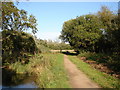
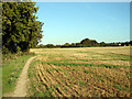
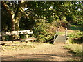
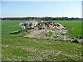
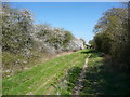
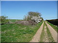
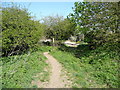
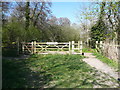
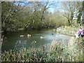
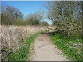
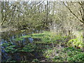
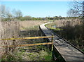
31 photos from this area
Area Information
Key information about the SG5 2QT including its size, population, and administrative classification.
- Area Type
- Postcode
- Area Size
- 4.1 hectares
- Population
- 1830
- Population Density
- 3845 people/km²
House Prices in SG5 2QT
16
Properties
£290,071
Average Sold Price
£190,000
Lowest Price
£395,000
Highest Price
Showing 16 properties
| Address | Type | Beds | Baths | Last Sale Price | Last Sale Date | |
|---|---|---|---|---|---|---|
| 120 Swinburne Avenue, Hitchin, SG5 2QT | Semi-detached | 3 | - | £352,000 | Nov 2018 | |
| 116 Swinburne Avenue, Hitchin, SG5 2QT | Semi-detached | 3 | - | £338,500 | Jun 2017 | |
| 112 Swinburne Avenue, Hitchin, SG5 2QT | Detached | 3 | - | £395,000 | Jul 2016 | |
| 102 Swinburne Avenue, Hitchin, SG5 2QT | house | - | - | £280,000 | Mar 2016 | |
| 118 Swinburne Avenue, Hitchin, SG5 2QT | Terraced | - | - | £231,000 | Jun 2012 | |
| 114 Swinburne Avenue, Hitchin, SG5 2QT | house | 3 | - | £244,000 | Mar 2011 | |
| 110 Swinburne Avenue, Hitchin, SG5 2QT | Detached | - | - | £190,000 | Jan 2002 | |
| 106 Swinburne Avenue, Hitchin, SG5 2QT | Terraced | - | - | - | - | |
| 97 Swinburne Avenue, Hitchin, SG5 2QT | Terraced | - | - | - | - | |
| 93 Swinburne Avenue, Hitchin, SG5 2QT | house | - | - | - | - |
Page 1 of 2
Energy Efficiency in SG5 2QT
Amenities
Schools
| Rank | School | Type | Entry gender | Ages |
|---|
Explore more schools in this area
Go to Schools tabDemographics
Household Size
Two person
most common
Accommodation Type
Houses
most common
Tenure
71
majority
Ethnic Group
White
most common
Religion
N/A
most common
Household Composition
N/A
most common
Age
47
median
Adults (30-64 years)
most common
Household Deprivation
N/A
with no deprivation
NS-SEC
44
in Lower managerial occupations
Explore more demographic insights in this area
Go to Demographics tabPlanning
Planning Constraints
- Flood RiskPremium
- Ramsar Wetland SitesPremium
- Area of Outstanding Natural BeautyPremium
- Protected Nature ReservePremium
- Protected WoodlandPremium