Area Overview for SG5 2PR
Photos of SG5 2PR

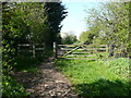
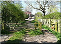
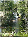
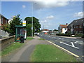
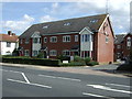
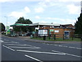
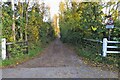
29 photos from this area
Area Information
Key information about the SG5 2PR including its size, population, and administrative classification.
- Area Type
- Postcode
- Area Size
- 6233 m²
- Population
- 1620
- Population Density
- 2997 people/km²
House Prices in SG5 2PR
30
Properties
£192,208
Average Sold Price
£112,000
Lowest Price
£317,500
Highest Price
Showing 30 properties
| Address | Type | Beds | Baths | Last Sale Price | Last Sale Date | |
|---|---|---|---|---|---|---|
| 43 Bingen Road, Hitchin, SG5 2PR | Retail | 3 | 1 | £305,000 | May 2022 | |
| 61 Bingen Road, Hitchin, SG5 2PR | Flat | 3 | 1 | £187,000 | Jan 2022 | |
| 73 Bingen Road, Hitchin, SG5 2PR | Flat | - | - | £200,000 | Jul 2021 | |
| 71 Bingen Road, Hitchin, SG5 2PR | Flat | - | - | £219,000 | May 2021 | |
| 32 Bingen Road, Hitchin, SG5 2PR | Terraced | 3 | - | £317,500 | Mar 2021 | |
| 81 Bingen Road, Hitchin, SG5 2PR | Flat | - | - | £180,000 | Apr 2019 | |
| 79 Bingen Road, Hitchin, SG5 2PR | Flat | - | - | £138,000 | Jul 2015 | |
| 49 Bingen Road, Hitchin, SG5 2PR | Terraced | 3 | 1 | £245,000 | Jul 2015 | |
| 55 Bingen Road, Hitchin, SG5 2PR | Flat | - | - | £112,000 | Apr 2014 | |
| 47 Bingen Road, Hitchin, SG5 2PR | house | 3 | - | £170,000 | Aug 2012 |
Page 1 of 3
Energy Efficiency in SG5 2PR
Amenities
Schools
| Rank | School | Type | Entry gender | Ages |
|---|
Explore more schools in this area
Go to Schools tabDemographics
Household Size
One person
most common
Accommodation Type
Flats
most common
Tenure
31
majority
Ethnic Group
White
most common
Religion
N/A
most common
Household Composition
N/A
most common
Age
47
median
Adults (30-64 years)
most common
Household Deprivation
N/A
with no deprivation
NS-SEC
21
in Lower managerial occupations
Explore more demographic insights in this area
Go to Demographics tabPlanning
Planning Constraints
- Flood RiskPremium
- Ramsar Wetland SitesPremium
- Area of Outstanding Natural BeautyPremium
- Protected Nature ReservePremium
- Protected WoodlandPremium