Area Overview for SG5 1SR
Photos of SG5 1SR
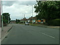


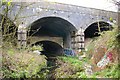
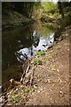

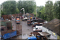
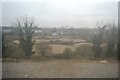
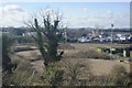
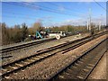
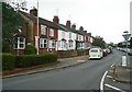
28 photos from this area
Area Information
Key information about the SG5 1SR including its size, population, and administrative classification.
- Area Type
- Postcode
- Area Size
- 1.7 hectares
- Population
- 1396
- Population Density
- 1745 people/km²
House Prices in SG5 1SR
30
Properties
£450,830
Average Sold Price
£110,000
Lowest Price
£880,000
Highest Price
Showing 30 properties
| Address | Type | Beds | Baths | Last Sale Price | Last Sale Date | |
|---|---|---|---|---|---|---|
| 16 Whitehurst Avenue, Hitchin, SG5 1SR | Semi-detached | 3 | 1 | £685,616 | May 2023 | |
| 20 Whitehurst Avenue, Hitchin, SG5 1SR | house | 3 | - | £880,000 | Jan 2023 | |
| 9 Whitehurst Avenue, Hitchin, SG5 1SR | Retail | 3 | 1 | £643,000 | Apr 2022 | |
| 12 Whitehurst Avenue, Hitchin, SG5 1SR | Semi-detached | 4 | 2 | £790,000 | Oct 2021 | |
| 14 Whitehurst Avenue, Hitchin, SG5 1SR | Semi-detached | 3 | 1 | £540,000 | Nov 2019 | |
| 7 Whitehurst Avenue, Hitchin, SG5 1SR | Semi-detached | 3 | 1 | £642,500 | May 2018 | |
| 26 Whitehurst Avenue, Hitchin, SG5 1SR | house | - | - | £465,000 | Nov 2015 | |
| 5 Whitehurst Avenue, Hitchin, SG5 1SR | house | - | - | £450,000 | Jul 2010 | |
| 15 Whitehurst Avenue, Hitchin, SG5 1SR | Semi-detached | - | - | £365,000 | May 2006 | |
| 18 Whitehurst Avenue, Hitchin, SG5 1SR | Semi-detached | - | - | £345,000 | Feb 2006 |
Page 1 of 3
Energy Efficiency in SG5 1SR
Amenities
Schools
| Rank | School | Type | Entry gender | Ages |
|---|
Explore more schools in this area
Go to Schools tabDemographics
Household Size
Family (3-5 people)
most common
Accommodation Type
Houses
most common
Tenure
82
majority
Ethnic Group
White
most common
Religion
N/A
most common
Household Composition
N/A
most common
Age
47
median
Adults (30-64 years)
most common
Household Deprivation
N/A
with no deprivation
NS-SEC
47
in Lower managerial occupations
Explore more demographic insights in this area
Go to Demographics tabPlanning
Planning Constraints
- Flood RiskPremium
- Ramsar Wetland SitesPremium
- Area of Outstanding Natural BeautyPremium
- Protected Nature ReservePremium
- Protected WoodlandPremium