Area Overview for SG4 7LE
Photos of SG4 7LE
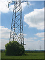
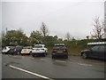
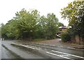
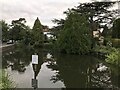
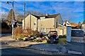
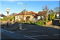
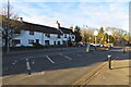
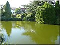
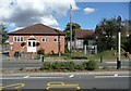
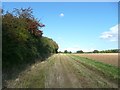
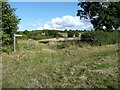
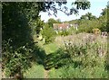
24 photos from this area
Area Information
Key information about the SG4 7LE including its size, population, and administrative classification.
- Area Type
- Postcode
- Area Size
- 4.9 hectares
- Population
- 1409
- Population Density
- 173 people/km²
House Prices in SG4 7LE
7
Properties
£354,175
Average Sold Price
£147,200
Lowest Price
£485,000
Highest Price
Showing 7 properties
| Address | Type | Beds | Baths | Last Sale Price | Last Sale Date | |
|---|---|---|---|---|---|---|
| 9 High Street, Graveley, SG4 7LE | Detached | 4 | 3 | £485,000 | Jun 2021 | |
| 15 High Street, Graveley, SG4 7LE | house | - | - | £354,500 | Feb 2020 | |
| 1 High Street, Graveley, SG4 7LE | Detached | 2 | - | £430,000 | Mar 2017 | |
| 3 High Street, Graveley, SG4 7LE | Detached | - | - | £147,200 | Nov 1996 | |
| Residential Accommodation At, The Waggon And Horses, 27 High Street, Graveley, SG4 7LE | Flat | - | - | - | - | |
| The George And Dragon, 19 High Street, Graveley, SG4 7LE | restaurant_cafe | - | - | - | - | |
| The Waggon And Horses, 27 High Street, Graveley, SG4 7LE | restaurant_cafe | - | - | - | - |
Energy Efficiency in SG4 7LE
Amenities
Schools
| Rank | School | Type | Entry gender | Ages |
|---|
Explore more schools in this area
Go to Schools tabDemographics
Household Size
Two person
most common
Accommodation Type
Houses
most common
Tenure
66
majority
Ethnic Group
White
most common
Religion
N/A
most common
Household Composition
N/A
most common
Age
47
median
Adults (30-64 years)
most common
Household Deprivation
N/A
with no deprivation
NS-SEC
39
in Lower managerial occupations
Explore more demographic insights in this area
Go to Demographics tabPlanning
Planning Constraints
- Flood RiskPremium
- Ramsar Wetland SitesPremium
- Area of Outstanding Natural BeautyPremium
- Protected Nature ReservePremium
- Protected WoodlandPremium