Area Overview for SG4 7LA
Photos of SG4 7LA
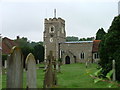
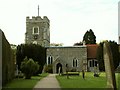
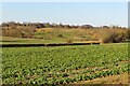
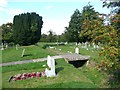
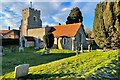
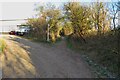
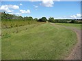
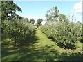
10 photos from this area
Area Information
Key information about the SG4 7LA including its size, population, and administrative classification.
- Area Type
- Postcode
- Area Size
- 19.4 hectares
- Population
- 1609
- Population Density
- 329 people/km²
House Prices in SG4 7LA
25
Properties
£613,895
Average Sold Price
£117,950
Lowest Price
£1,400,000
Highest Price
Showing 25 properties
| Address | Type | Beds | Baths | Last Sale Price | Last Sale Date | |
|---|---|---|---|---|---|---|
| 48 High Street, Graveley, SG4 7LA | Detached | 4 | 3 | £1,000,000 | Mar 2024 | |
| 42 High Street, Graveley, SG4 7LA | house | 4 | - | £575,000 | Mar 2021 | |
| 36 High Street, Graveley, SG4 7LA | Detached | 3 | 2 | £480,000 | Jul 2020 | |
| 38A High Street, Graveley, SG4 7LA | house | - | - | £650,000 | Sep 2018 | |
| Graveley House, 35 High Street, Graveley, SG4 7LA | Detached | 5 | 3 | £1,400,000 | Dec 2017 | |
| 31 High Street, Graveley, SG4 7LA | Semi-detached | - | - | £1,000,000 | Oct 2015 | |
| 38 High Street, Graveley, SG4 7LA | house | 3 | - | £268,000 | Dec 2012 | |
| 32 High Street, Graveley, SG4 7LA | Semi-detached | - | - | £336,000 | Jul 2005 | |
| 34 High Street, Graveley, SG4 7LA | Semi-detached | - | - | £312,000 | May 2004 | |
| 20-22 High Street, Graveley, SG4 7LA | Terraced | - | - | £117,950 | Jun 1999 |
Page 1 of 3
Energy Efficiency in SG4 7LA
Amenities
Schools
| Rank | School | Type | Entry gender | Ages |
|---|
Explore more schools in this area
Go to Schools tabDemographics
Household Size
Family (3-5 people)
most common
Accommodation Type
Houses
most common
Tenure
69
majority
Ethnic Group
White
most common
Religion
N/A
most common
Household Composition
N/A
most common
Age
47
median
Adults (30-64 years)
most common
Household Deprivation
N/A
with no deprivation
NS-SEC
44
in Lower managerial occupations
Explore more demographic insights in this area
Go to Demographics tabPlanning
Planning Constraints
- Flood RiskPremium
- Ramsar Wetland SitesPremium
- Area of Outstanding Natural BeautyPremium
- Protected Nature ReservePremium
- Protected WoodlandPremium