Area Overview for SG3 6NP
Photos of SG3 6NP
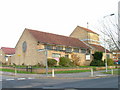
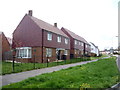
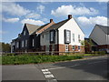
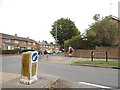
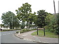
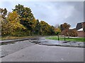
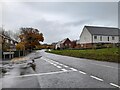
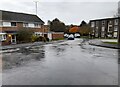
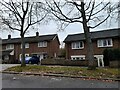
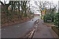
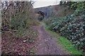
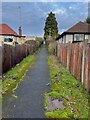
19 photos from this area
Area Information
Key information about the SG3 6NP including its size, population, and administrative classification.
- Area Type
- Postcode
- Area Size
- 81.1 hectares
- Population
- 1712
- Population Density
- 450 people/km²
House Prices in SG3 6NP
40
Properties
£680,346
Average Sold Price
£175,000
Lowest Price
£1,550,000
Highest Price
Showing 40 properties
| Address | Type | Beds | Baths | Last Sale Price | Last Sale Date | |
|---|---|---|---|---|---|---|
| 39 Oakfields Avenue, Knebworth, SG3 6NP | Detached | 4 | 1 | £862,500 | Jul 2023 | |
| Starlings Nap, 15 Oakfields Avenue, Knebworth, SG3 6NP | house | - | - | £925,000 | Jun 2021 | |
| 2 Oakfields Avenue, Knebworth, SG3 6NP | house | - | - | £1,550,000 | Apr 2021 | |
| 21 Oakfields Avenue, Knebworth, SG3 6NP | house | - | - | £935,000 | Mar 2021 | |
| 36 Oakfields Avenue, Knebworth, SG3 6NP | Detached | 6 | 3 | £1,050,000 | Feb 2021 | |
| 10 Oakfields Avenue, Knebworth, SG3 6NP | Bungalow | - | - | £658,500 | Jan 2020 | |
| 8 Oakfields Avenue, Knebworth, SG3 6NP | Bungalow | 5 | 2 | £870,000 | Dec 2019 | |
| 3 Oakfields Avenue, Knebworth, SG3 6NP | house | - | - | £910,000 | Aug 2019 | |
| 17 Oakfields Avenue, Knebworth, SG3 6NP | house | - | - | £1,090,000 | Mar 2019 | |
| 23 Oakfields Avenue, Knebworth, SG3 6NP | house | - | - | £885,000 | Jun 2017 |
Page 1 of 4
Energy Efficiency in SG3 6NP
Amenities
Schools
| Rank | School | Type | Entry gender | Ages |
|---|
Explore more schools in this area
Go to Schools tabDemographics
Household Size
Two person
most common
Accommodation Type
Houses
most common
Tenure
58
majority
Ethnic Group
White
most common
Religion
N/A
most common
Household Composition
N/A
most common
Age
47
median
Adults (30-64 years)
most common
Household Deprivation
N/A
with no deprivation
NS-SEC
43
in Lower managerial occupations
Explore more demographic insights in this area
Go to Demographics tabPlanning
Planning Constraints
- Flood RiskPremium
- Ramsar Wetland SitesPremium
- Area of Outstanding Natural BeautyPremium
- Protected Nature ReservePremium
- Protected WoodlandPremium