Area Overview for SG3 6AS
Photos of SG3 6AS
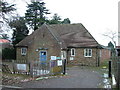
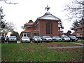
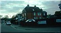
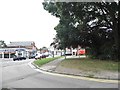
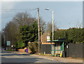
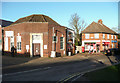
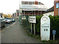
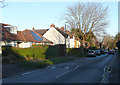
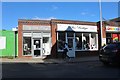
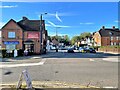
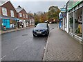
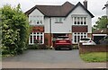
24 photos from this area
Area Information
Key information about the SG3 6AS including its size, population, and administrative classification.
- Area Type
- Postcode
- Area Size
- 8374 m²
- Population
- 1850
- Population Density
- 1793 people/km²
House Prices in SG3 6AS
26
Properties
£328,769
Average Sold Price
£80,000
Lowest Price
£600,000
Highest Price
Showing 26 properties
| Address | Type | Beds | Baths | Last Sale Price | Last Sale Date | |
|---|---|---|---|---|---|---|
| 18 Westland Road, Knebworth, SG3 6AS | Terraced | 2 | 1 | £400,000 | Oct 2025 | |
| 10 Westland Road, Knebworth, SG3 6AS | Semi-detached | 3 | 1 | £570,000 | Sep 2024 | |
| 1 Westland Road, Knebworth, SG3 6AS | house | 2 | 1 | £396,000 | Jan 2024 | |
| 21 Westland Road, Knebworth, SG3 6AS | Terraced | 4 | 2 | £492,000 | Dec 2023 | |
| 4 Westland Road, Knebworth, SG3 6AS | Terraced | 2 | 1 | £430,000 | Oct 2023 | |
| 7 Westland Road, Knebworth, SG3 6AS | Terraced | 2 | 1 | £340,000 | Sep 2023 | |
| 15 Westland Road, Knebworth, SG3 6AS | Terraced | 3 | 2 | £486,000 | Aug 2023 | |
| 11 Westland Road, Knebworth, SG3 6AS | Semi-detached | 3 | 2 | £600,000 | Feb 2022 | |
| 19 Westland Road, Knebworth, SG3 6AS | house | - | - | £360,750 | Feb 2019 | |
| 13 Westland Road, Knebworth, SG3 6AS | house | - | - | £395,000 | Oct 2018 |
Page 1 of 3
Energy Efficiency in SG3 6AS
Amenities
Schools
| Rank | School | Type | Entry gender | Ages |
|---|
Explore more schools in this area
Go to Schools tabDemographics
Household Size
Two person
most common
Accommodation Type
Houses
most common
Tenure
70
majority
Ethnic Group
White
most common
Religion
N/A
most common
Household Composition
N/A
most common
Age
47
median
Adults (30-64 years)
most common
Household Deprivation
N/A
with no deprivation
NS-SEC
53
in Lower managerial occupations
Explore more demographic insights in this area
Go to Demographics tabPlanning
Planning Constraints
- Flood RiskPremium
- Ramsar Wetland SitesPremium
- Area of Outstanding Natural BeautyPremium
- Protected Nature ReservePremium
- Protected WoodlandPremium