Area Overview for SG2 8RW
Photos of SG2 8RW
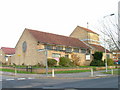
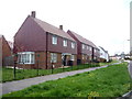
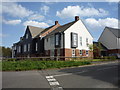
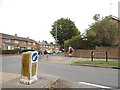
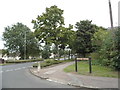
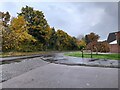
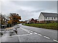
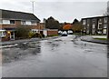
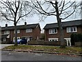
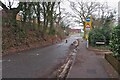
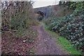
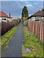
19 photos from this area
Area Information
Key information about the SG2 8RW including its size, population, and administrative classification.
- Area Type
- Postcode
- Area Size
- 1.9 hectares
- Population
- 1942
- Population Density
- 6685 people/km²
House Prices in SG2 8RW
81
Properties
£150,918
Average Sold Price
£31,500
Lowest Price
£312,500
Highest Price
Showing 81 properties
| Address | Type | Beds | Baths | Last Sale Price | Last Sale Date | |
|---|---|---|---|---|---|---|
| 200 Kimbolton Crescent, Stevenage, SG2 8RW | Flat | - | - | £163,000 | Jun 2025 | |
| 181 Kimbolton Crescent, Stevenage, SG2 8RW | Terraced | 2 | 2 | £312,500 | Sep 2023 | |
| 213 Kimbolton Crescent, Stevenage, SG2 8RW | Flat | - | - | £155,000 | Oct 2022 | |
| 193 Kimbolton Crescent, Stevenage, SG2 8RW | Flat | - | - | £157,500 | Jul 2021 | |
| 173 Kimbolton Crescent, Stevenage, SG2 8RW | house | - | - | £275,000 | Jul 2021 | |
| 185 Kimbolton Crescent, Stevenage, SG2 8RW | Flat | - | - | £200,000 | Sep 2020 | |
| 167 Kimbolton Crescent, Stevenage, SG2 8RW | Semi-detached | 3 | 1 | £255,000 | Dec 2017 | |
| 226 Kimbolton Crescent, Stevenage, SG2 8RW | Maisonette | - | - | £175,000 | Nov 2016 | |
| 234 Kimbolton Crescent, Stevenage, SG2 8RW | Flat | 2 | 1 | £180,500 | Oct 2016 | |
| 176 Kimbolton Crescent, Stevenage, SG2 8RW | Terraced | 2 | 1 | £218,000 | Nov 2015 |
Page 1 of 9
Energy Efficiency in SG2 8RW
Amenities
Schools
| Rank | School | Type | Entry gender | Ages |
|---|
Explore more schools in this area
Go to Schools tabDemographics
Household Size
Family (3-5 people)
most common
Accommodation Type
Houses
most common
Tenure
48
majority
Ethnic Group
White
most common
Religion
N/A
most common
Household Composition
N/A
most common
Age
47
median
Adults (30-64 years)
most common
Household Deprivation
N/A
with no deprivation
NS-SEC
27
in Lower managerial occupations
Explore more demographic insights in this area
Go to Demographics tabPlanning
Planning Constraints
- Flood RiskPremium
- Ramsar Wetland SitesPremium
- Area of Outstanding Natural BeautyPremium
- Protected Nature ReservePremium
- Protected WoodlandPremium