Area Overview for SG17 5EG
Photos of SG17 5EG
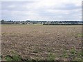

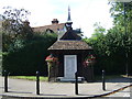
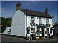
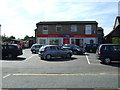
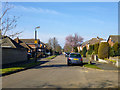
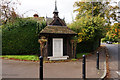
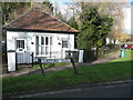
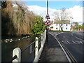
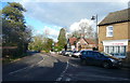
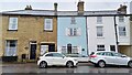
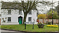
22 photos from this area
Area Information
Key information about the SG17 5EG including its size, population, and administrative classification.
- Area Type
- Postcode
- Area Size
- 8959 m²
- Population
- 1870
- Population Density
- 536 people/km²
House Prices in SG17 5EG
15
Properties
£299,900
Average Sold Price
£95,000
Lowest Price
£559,000
Highest Price
Showing 15 properties
| Address | Type | Beds | Baths | Last Sale Price | Last Sale Date | |
|---|---|---|---|---|---|---|
| 8 Burrows Close, Clifton, SG17 5EG | house | 4 | 2 | £559,000 | Jan 2025 | |
| 15 Burrows Close, Clifton, SG17 5EG | Detached | 4 | 2 | £466,000 | Nov 2016 | |
| 10 Burrows Close, Clifton, SG17 5EG | house | - | - | £292,000 | Aug 2014 | |
| 14 Burrows Close, Clifton, SG17 5EG | house | - | - | £295,000 | Dec 2012 | |
| 2 Burrows Close, Clifton, SG17 5EG | house | - | - | £265,000 | Aug 2011 | |
| 13 Burrows Close, Clifton, SG17 5EG | house | - | - | £240,000 | May 2009 | |
| 6 Burrows Close, Clifton, SG17 5EG | Detached | - | - | £290,000 | Jun 2006 | |
| 9 Burrows Close, Clifton, SG17 5EG | Detached | - | - | £262,000 | Dec 2005 | |
| 12 Burrows Close, Clifton, SG17 5EG | Detached | - | - | £235,000 | Jan 2003 | |
| 11 Burrows Close, Clifton, SG17 5EG | Detached | - | - | £95,000 | Feb 1995 |
Page 1 of 2
Energy Efficiency in SG17 5EG
Amenities
Schools
| Rank | School | Type | Entry gender | Ages |
|---|
Explore more schools in this area
Go to Schools tabDemographics
Household Size
Two person
most common
Accommodation Type
Houses
most common
Tenure
90
majority
Ethnic Group
White
most common
Religion
N/A
most common
Household Composition
N/A
most common
Age
47
median
Adults (30-64 years)
most common
Household Deprivation
N/A
with no deprivation
NS-SEC
48
in Lower managerial occupations
Explore more demographic insights in this area
Go to Demographics tabPlanning
Planning Constraints
- Flood RiskPremium
- Ramsar Wetland SitesPremium
- Area of Outstanding Natural BeautyPremium
- Protected Nature ReservePremium
- Protected WoodlandPremium