Area Overview for SG14 2BZ
Photos of SG14 2BZ
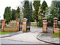
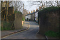
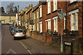
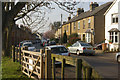
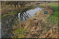
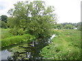
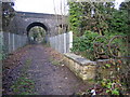
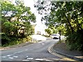
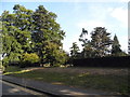
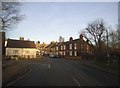
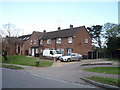
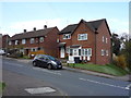
30 photos from this area
Area Information
Key information about the SG14 2BZ including its size, population, and administrative classification.
- Area Type
- Postcode
- Area Size
- 9.7 hectares
- Population
- 1296
- Population Density
- 2065 people/km²
House Prices in SG14 2BZ
32
Properties
£546,630
Average Sold Price
£103,750
Lowest Price
£1,000,000
Highest Price
Showing 32 properties
| Address | Type | Beds | Baths | Last Sale Price | Last Sale Date | |
|---|---|---|---|---|---|---|
| 136 North Road, Hertford, SG14 2BZ | Semi-detached | 4 | 2 | £766,000 | Feb 2023 | |
| 130 North Road, Hertford, SG14 2BZ | Retail | 3 | 1 | £682,000 | Oct 2022 | |
| 126 North Road, Hertford, SG14 2BZ | Semi-detached | 3 | 1 | £640,000 | Jul 2020 | |
| 96 North Road, Hertford, SG14 2BZ | Semi-detached | 4 | 2 | £707,000 | Aug 2019 | |
| 118 North Road, Hertford, SG14 2BZ | Semi-detached | 4 | 2 | £845,000 | Aug 2019 | |
| 102 North Road, Hertford, SG14 2BZ | Semi-detached | 3 | 1 | £640,000 | Jul 2018 | |
| 100 North Road, Hertford, SG14 2BZ | Semi-detached | 3 | 1 | £560,000 | Oct 2016 | |
| 114 North Road, Hertford, SG14 2BZ | Semi-detached | 3 | 2 | £542,000 | Jan 2015 | |
| 144 North Road, Hertford, SG14 2BZ | Bungalow | 3 | 1 | £715,000 | Dec 2014 | |
| 142 North Road, Hertford, SG14 2BZ | Detached | 5 | 2 | £1,000,000 | Dec 2014 |
Page 1 of 4
Energy Efficiency in SG14 2BZ
Amenities
Schools
| Rank | School | Type | Entry gender | Ages |
|---|
Explore more schools in this area
Go to Schools tabDemographics
Household Size
Family (3-5 people)
most common
Accommodation Type
Houses
most common
Tenure
79
majority
Ethnic Group
White
most common
Religion
N/A
most common
Household Composition
N/A
most common
Age
47
median
Adults (30-64 years)
most common
Household Deprivation
N/A
with no deprivation
NS-SEC
52
in Lower managerial occupations
Explore more demographic insights in this area
Go to Demographics tabPlanning
Planning Constraints
- Flood RiskPremium
- Ramsar Wetland SitesPremium
- Area of Outstanding Natural BeautyPremium
- Protected Nature ReservePremium
- Protected WoodlandPremium