Area Overview for SG14 2BU
Photos of SG14 2BU
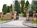
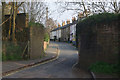
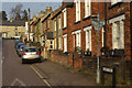
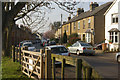
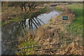
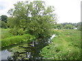
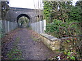
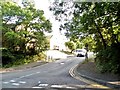
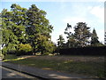
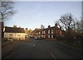
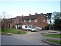
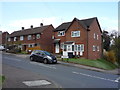
30 photos from this area
Area Information
Key information about the SG14 2BU including its size, population, and administrative classification.
- Area Type
- Postcode
- Area Size
- 4.5 hectares
- Population
- 1296
- Population Density
- 2065 people/km²
House Prices in SG14 2BU
28
Properties
£521,642
Average Sold Price
£110,000
Lowest Price
£935,000
Highest Price
Showing 28 properties
| Address | Type | Beds | Baths | Last Sale Price | Last Sale Date | |
|---|---|---|---|---|---|---|
| 93 North Road, Hertford, SG14 2BU | Semi-detached | 5 | 2 | £935,000 | Mar 2025 | |
| 84 North Road, Hertford, SG14 2BU | Semi-detached | 4 | 2 | £850,125 | Oct 2024 | |
| 74 North Road, Hertford, SG14 2BU | Detached | 4 | 3 | £750,000 | Oct 2023 | |
| 97 North Road, Hertford, SG14 2BU | Semi-detached | 3 | 1 | £735,000 | Jun 2023 | |
| 103 North Road, Hertford, SG14 2BU | Semi-detached | 4 | 2 | £775,000 | Sep 2022 | |
| 111 North Road, Hertford, SG14 2BU | Retail | 4 | 3 | £830,000 | May 2022 | |
| 72 North Road, Hertford, SG14 2BU | Bungalow | 4 | 4 | £595,000 | Feb 2021 | |
| 107 North Road, Hertford, SG14 2BU | Semi-detached | 3 | 1 | £505,000 | Oct 2019 | |
| 113 North Road, Hertford, SG14 2BU | Detached | 3 | 1 | £710,000 | Aug 2019 | |
| 86 North Road, Hertford, SG14 2BU | house | - | - | £580,000 | Nov 2016 |
Page 1 of 3
Energy Efficiency in SG14 2BU
Amenities
Schools
| Rank | School | Type | Entry gender | Ages |
|---|
Explore more schools in this area
Go to Schools tabDemographics
Household Size
Family (3-5 people)
most common
Accommodation Type
Houses
most common
Tenure
79
majority
Ethnic Group
White
most common
Religion
N/A
most common
Household Composition
N/A
most common
Age
47
median
Adults (30-64 years)
most common
Household Deprivation
N/A
with no deprivation
NS-SEC
52
in Lower managerial occupations
Explore more demographic insights in this area
Go to Demographics tabPlanning
Planning Constraints
- Flood RiskPremium
- Ramsar Wetland SitesPremium
- Area of Outstanding Natural BeautyPremium
- Protected Nature ReservePremium
- Protected WoodlandPremium