Area Overview for SG13 7HW
Photos of SG13 7HW
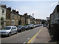
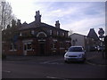
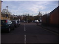
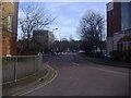
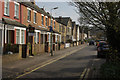
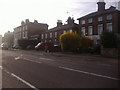
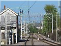
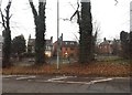
35 photos from this area
Area Information
Key information about the SG13 7HW including its size, population, and administrative classification.
- Area Type
- Postcode
- Area Size
- 1.4 hectares
- Population
- 2185
- Population Density
- 4391 people/km²
House Prices in SG13 7HW
20
Properties
£597,678
Average Sold Price
£156,995
Lowest Price
£1,150,000
Highest Price
Showing 20 properties
| Address | Type | Beds | Baths | Last Sale Price | Last Sale Date | |
|---|---|---|---|---|---|---|
| 13 Beechwood Close, Hertford, SG13 7HW | Detached | 4 | 2 | £1,150,000 | Aug 2025 | |
| 19 Beechwood Close, Hertford, SG13 7HW | Retail | 4 | 2 | £1,010,000 | Nov 2022 | |
| 17 Beechwood Close, Hertford, SG13 7HW | Detached | 4 | 2 | £1,100,000 | May 2022 | |
| 1A Beechwood Close, Hertford, SG13 7HW | Detached | - | - | £893,000 | Dec 2020 | |
| 10 Beechwood Close, Hertford, SG13 7HW | house | - | - | £662,000 | Aug 2017 | |
| 6 Beechwood Close, Hertford, SG13 7HW | Detached | 3 | 1 | £585,000 | Jul 2017 | |
| 11 Beechwood Close, Hertford, SG13 7HW | Detached | 4 | 2 | £795,000 | Sep 2016 | |
| 3 Beechwood Close, Hertford, SG13 7HW | Detached | - | - | £475,000 | Aug 2005 | |
| 15 Beechwood Close, Hertford, SG13 7HW | house | - | - | £500,000 | Jul 2004 | |
| 16 Beechwood Close, Hertford, SG13 7HW | house | - | - | £345,000 | May 2004 |
Page 1 of 2
Energy Efficiency in SG13 7HW
Amenities
Schools
| Rank | School | Type | Entry gender | Ages |
|---|
Explore more schools in this area
Go to Schools tabDemographics
Household Size
Two person
most common
Accommodation Type
Houses
most common
Tenure
63
majority
Ethnic Group
White
most common
Religion
N/A
most common
Household Composition
N/A
most common
Age
47
median
Adults (30-64 years)
most common
Household Deprivation
N/A
with no deprivation
NS-SEC
52
in Lower managerial occupations
Explore more demographic insights in this area
Go to Demographics tabPlanning
Planning Constraints
- Flood RiskPremium
- Ramsar Wetland SitesPremium
- Area of Outstanding Natural BeautyPremium
- Protected Nature ReservePremium
- Protected WoodlandPremium