Area Overview for SG11 1QP
Photos of SG11 1QP
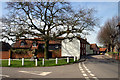
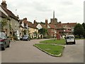
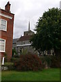
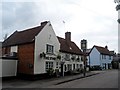
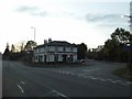
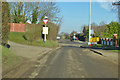
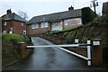
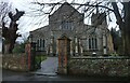
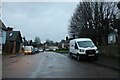
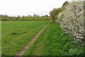
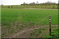
40 photos from this area
Area Information
Key information about the SG11 1QP including its size, population, and administrative classification.
- Area Type
- Postcode
- Area Size
- 9917 m²
- Population
- 1704
- Population Density
- 84 people/km²
House Prices in SG11 1QP
20
Properties
£335,769
Average Sold Price
£169,950
Lowest Price
£590,000
Highest Price
Showing 20 properties
| Address | Type | Beds | Baths | Last Sale Price | Last Sale Date | |
|---|---|---|---|---|---|---|
| 3 Vicarage Close, Standon, SG11 1QP | Semi-detached | 2 | 1 | £590,000 | Sep 2023 | |
| 4 Vicarage Close, Standon, SG11 1QP | Bungalow | 2 | 1 | £450,000 | Oct 2022 | |
| 17 Vicarage Close, Standon, SG11 1QP | Bungalow | 2 | 1 | £573,000 | Aug 2019 | |
| 1 Vicarage Close, Standon, SG11 1QP | Bungalow | - | - | £364,376 | Jan 2016 | |
| 18 Vicarage Close, Standon, SG11 1QP | Bungalow | 4 | - | £400,000 | Dec 2014 | |
| 9 Vicarage Close, Standon, SG11 1QP | Detached | 4 | 2 | £365,000 | Mar 2013 | |
| 21 Vicarage Close, Standon, SG11 1QP | house | 3 | - | £306,500 | Jan 2012 | |
| 12 Vicarage Close, Standon, SG11 1QP | Terraced | - | - | £288,000 | Dec 2006 | |
| 16 Vicarage Close, Standon, SG11 1QP | Semi-detached | - | - | £312,000 | Nov 2004 | |
| 7 Vicarage Close, Standon, SG11 1QP | house | - | - | £245,000 | Sep 2004 |
Page 1 of 2
Energy Efficiency in SG11 1QP
Amenities
Schools
| Rank | School | Type | Entry gender | Ages |
|---|
Explore more schools in this area
Go to Schools tabDemographics
Household Size
Two person
most common
Accommodation Type
Houses
most common
Tenure
83
majority
Ethnic Group
White
most common
Religion
N/A
most common
Household Composition
N/A
most common
Age
47
median
Adults (30-64 years)
most common
Household Deprivation
N/A
with no deprivation
NS-SEC
42
in Lower managerial occupations
Explore more demographic insights in this area
Go to Demographics tabPlanning
Planning Constraints
- Flood RiskPremium
- Ramsar Wetland SitesPremium
- Area of Outstanding Natural BeautyPremium
- Protected Nature ReservePremium
- Protected WoodlandPremium