Area Overview for SG1 3JA
Photos of SG1 3JA
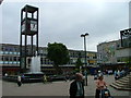
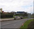
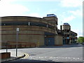
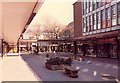
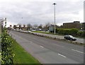
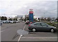
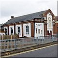
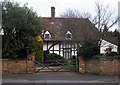
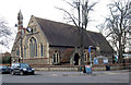
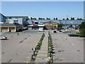
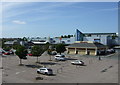
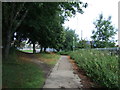
100 photos from this area
Area Information
Key information about the SG1 3JA including its size, population, and administrative classification.
- Area Type
- Postcode
- Area Size
- 2.2 hectares
- Population
- 2302
- Population Density
- 4934 people/km²
House Prices in SG1 3JA
18
Properties
£326,625
Average Sold Price
£84,000
Lowest Price
£550,000
Highest Price
Showing 18 properties
| Address | Type | Beds | Baths | Last Sale Price | Last Sale Date | |
|---|---|---|---|---|---|---|
| 26 Pound Avenue, Stevenage, SG1 3JA | house | - | - | £550,000 | Aug 2025 | |
| 30 Pound Avenue, Stevenage, SG1 3JA | Semi-detached | 3 | 2 | £500,000 | Nov 2024 | |
| Abbeyfield House, 2 Pound Avenue, Stevenage, SG1 3JA | hospital_care_home | - | - | £410,000 | May 2023 | |
| 34 Pound Avenue, Stevenage, SG1 3JA | Semi-detached | 3 | 1 | £470,000 | Apr 2023 | |
| 28 Pound Avenue, Stevenage, SG1 3JA | Semi-detached | 3 | 1 | £527,500 | May 2022 | |
| 10 Pound Avenue, Stevenage, SG1 3JA | house | - | - | £476,000 | Sep 2021 | |
| 22 Pound Avenue, Stevenage, SG1 3JA | Flat | 2 | 1 | £200,000 | Nov 2019 | |
| 14 Pound Avenue, Stevenage, SG1 3JA | Maisonette | - | - | £190,000 | Jun 2015 | |
| 16 Pound Avenue, Stevenage, SG1 3JA | Maisonette | 2 | - | £152,000 | Jun 2013 | |
| 18 Pound Avenue, Stevenage, SG1 3JA | Terraced | - | - | £155,000 | Mar 2012 |
Page 1 of 2
Energy Efficiency in SG1 3JA
Amenities
Schools
| Rank | School | Type | Entry gender | Ages |
|---|
Explore more schools in this area
Go to Schools tabDemographics
Household Size
One person
most common
Accommodation Type
Flats
most common
Tenure
42
majority
Ethnic Group
White
most common
Religion
N/A
most common
Household Composition
N/A
most common
Age
47
median
Adults (30-64 years)
most common
Household Deprivation
N/A
with no deprivation
NS-SEC
37
in Lower managerial occupations
Explore more demographic insights in this area
Go to Demographics tabPlanning
Planning Constraints
- Flood RiskPremium
- Ramsar Wetland SitesPremium
- Area of Outstanding Natural BeautyPremium
- Protected Nature ReservePremium
- Protected WoodlandPremium