Area Overview for SG1 2LF
Photos of SG1 2LF
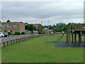
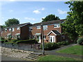
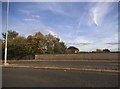
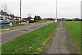
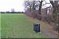
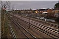
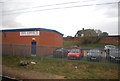
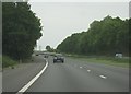
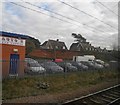
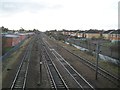
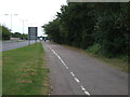
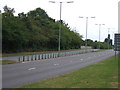
19 photos from this area
Area Information
Key information about the SG1 2LF including its size, population, and administrative classification.
- Area Type
- Postcode
- Area Size
- 1.6 hectares
- Population
- 1357
- Population Density
- 4362 people/km²
House Prices in SG1 2LF
48
Properties
£170,842
Average Sold Price
£43,500
Lowest Price
£300,000
Highest Price
Showing 48 properties
| Address | Type | Beds | Baths | Last Sale Price | Last Sale Date | |
|---|---|---|---|---|---|---|
| 161 Hopton Road, Stevenage, SG1 2LF | Flat | - | - | £161,500 | Apr 2023 | |
| 207 Hopton Road, Stevenage, SG1 2LF | house | - | - | £300,000 | Apr 2022 | |
| 185 Hopton Road, Stevenage, SG1 2LF | Terraced | 3 | 1 | £281,000 | Sep 2020 | |
| 193 Hopton Road, Stevenage, SG1 2LF | house | 3 | 2 | £280,000 | Sep 2018 | |
| 225 Hopton Road, Stevenage, SG1 2LF | house | - | - | £297,000 | Mar 2018 | |
| 197 Hopton Road, Stevenage, SG1 2LF | Terraced | 3 | 2 | £270,000 | Feb 2017 | |
| 163 Hopton Road, Stevenage, SG1 2LF | Flat | - | - | £123,000 | Aug 2014 | |
| 131 Hopton Road, Stevenage, SG1 2LF | Flat | - | - | £139,995 | Jul 2013 | |
| 211 Hopton Road, Stevenage, SG1 2LF | Semi-detached | 3 | - | £171,500 | Jun 2013 | |
| 169 Hopton Road, Stevenage, SG1 2LF | Terraced | 3 | - | £165,000 | Mar 2013 |
Page 1 of 5
Energy Efficiency in SG1 2LF
Amenities
Schools
| Rank | School | Type | Entry gender | Ages |
|---|
Explore more schools in this area
Go to Schools tabDemographics
Household Size
Family (3-5 people)
most common
Accommodation Type
Houses
most common
Tenure
50
majority
Ethnic Group
White
most common
Religion
N/A
most common
Household Composition
N/A
most common
Age
47
median
Adults (30-64 years)
most common
Household Deprivation
N/A
with no deprivation
NS-SEC
29
in Lower managerial occupations
Explore more demographic insights in this area
Go to Demographics tabPlanning
Planning Constraints
- Flood RiskPremium
- Ramsar Wetland SitesPremium
- Area of Outstanding Natural BeautyPremium
- Protected Nature ReservePremium
- Protected WoodlandPremium