Area Overview for RM17 6JZ
Photos of RM17 6JZ
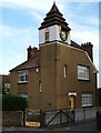
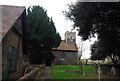
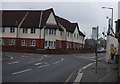
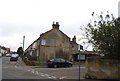
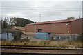

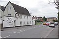
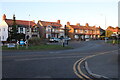
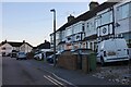
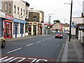
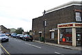
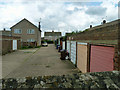
69 photos from this area
Area Information
Key information about the RM17 6JZ including its size, population, and administrative classification.
- Area Type
- Postcode
- Area Size
- 9889 m²
- Population
- 1831
- Population Density
- 8045 people/km²
House Prices in RM17 6JZ
45
Properties
£204,879
Average Sold Price
£53,000
Lowest Price
£370,000
Highest Price
Showing 45 properties
| Address | Type | Beds | Baths | Last Sale Price | Last Sale Date | |
|---|---|---|---|---|---|---|
| 53 Grove Road, Grays, RM17 6JZ | Flat | 3 | 1 | £285,000 | Mar 2025 | |
| 69 Grove Road, Grays, RM17 6JZ | Terraced | 3 | 2 | £295,000 | Jan 2025 | |
| 99 Grove Road, Grays, RM17 6JZ | house | - | - | £260,000 | Aug 2024 | |
| 28 Grove Road, Grays, RM17 6JZ | house | - | - | £370,000 | May 2024 | |
| 18 Grove Road, Grays, RM17 6JZ | Terraced | 3 | 1 | £345,000 | Jan 2024 | |
| 34 Grove Road, Grays, RM17 6JZ | Terraced | 3 | 1 | £315,000 | Jan 2023 | |
| 89 Grove Road, Grays, RM17 6JZ | house | - | - | £275,000 | Sep 2021 | |
| 71 Grove Road, Grays, RM17 6JZ | house | - | - | £240,000 | Oct 2020 | |
| 54 Grove Road, Grays, RM17 6JZ | Terraced | 3 | 2 | £275,000 | Mar 2019 | |
| 67 Grove Road, Grays, RM17 6JZ | Terraced | 2 | 1 | £264,000 | Jul 2018 |
Page 1 of 5
Energy Efficiency in RM17 6JZ
Amenities
Schools
| Rank | School | Type | Entry gender | Ages |
|---|
Explore more schools in this area
Go to Schools tabDemographics
Household Size
Family (3-5 people)
most common
Accommodation Type
Houses
most common
Tenure
48
majority
Ethnic Group
White
most common
Religion
N/A
most common
Household Composition
N/A
most common
Age
47
median
Adults (30-64 years)
most common
Household Deprivation
N/A
with no deprivation
NS-SEC
18
in Lower managerial occupations
Explore more demographic insights in this area
Go to Demographics tabPlanning
Planning Constraints
- Flood RiskPremium
- Ramsar Wetland SitesPremium
- Area of Outstanding Natural BeautyPremium
- Protected Nature ReservePremium
- Protected WoodlandPremium