Area Overview for RM17 6DZ
Photos of RM17 6DZ
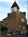
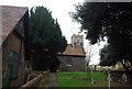
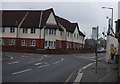
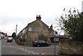
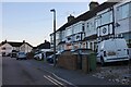
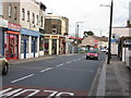
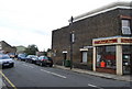
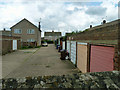
69 photos from this area
Area Information
Key information about the RM17 6DZ including its size, population, and administrative classification.
- Area Type
- Postcode
- Area Size
- 1.2 hectares
- Population
- 1831
- Population Density
- 8045 people/km²
House Prices in RM17 6DZ
65
Properties
£171,072
Average Sold Price
£42,000
Lowest Price
£310,000
Highest Price
Showing 65 properties
| Address | Type | Beds | Baths | Last Sale Price | Last Sale Date | |
|---|---|---|---|---|---|---|
| 129 William Street, Grays, RM17 6DZ | Terraced | 3 | 1 | £287,000 | Aug 2023 | |
| 117 William Street, Grays, RM17 6DZ | Terraced | 2 | 1 | £310,000 | Aug 2022 | |
| 120 William Street, Grays, RM17 6DZ | house | 1 | 2 | £220,000 | Aug 2022 | |
| 105 William Street, Grays, RM17 6DZ | Terraced | 2 | 1 | £292,000 | Apr 2022 | |
| 100 William Street, Grays, RM17 6DZ | Terraced | 2 | - | £265,000 | Sep 2021 | |
| 74 William Street, Grays, RM17 6DZ | Terraced | 3 | 1 | £258,000 | Apr 2021 | |
| 131 William Street, Grays, RM17 6DZ | Terraced | 3 | 1 | £268,000 | Apr 2021 | |
| 96 William Street, Grays, RM17 6DZ | house | - | - | £267,000 | Apr 2021 | |
| 123 William Street, Grays, RM17 6DZ | Terraced | 3 | 1 | £256,995 | Dec 2020 | |
| 109 William Street, Grays, RM17 6DZ | Terraced | 2 | 1 | £200,000 | Sep 2019 |
Page 1 of 7
Energy Efficiency in RM17 6DZ
Amenities
Schools
| Rank | School | Type | Entry gender | Ages |
|---|
Explore more schools in this area
Go to Schools tabDemographics
Household Size
Family (3-5 people)
most common
Accommodation Type
Houses
most common
Tenure
48
majority
Ethnic Group
White
most common
Religion
N/A
most common
Household Composition
N/A
most common
Age
47
median
Adults (30-64 years)
most common
Household Deprivation
N/A
with no deprivation
NS-SEC
18
in Lower managerial occupations
Explore more demographic insights in this area
Go to Demographics tabPlanning
Planning Constraints
- Flood RiskPremium
- Ramsar Wetland SitesPremium
- Area of Outstanding Natural BeautyPremium
- Protected Nature ReservePremium
- Protected WoodlandPremium