Area Overview for RM17 5XD
Photos of RM17 5XD
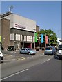
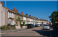
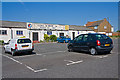
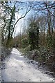
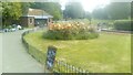
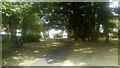
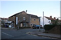
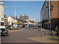
53 photos from this area
Area Information
Key information about the RM17 5XD including its size, population, and administrative classification.
- Area Type
- Postcode
- Area Size
- 5.4 hectares
- Population
- 1506
- Population Density
- 3937 people/km²
House Prices in RM17 5XD
56
Properties
£368,299
Average Sold Price
£22,000
Lowest Price
£825,000
Highest Price
Showing 56 properties
| Address | Type | Beds | Baths | Last Sale Price | Last Sale Date | |
|---|---|---|---|---|---|---|
| 15 Bradleigh Avenue, Grays, RM17 5XD | Semi-detached | 5 | 3 | £640,000 | Oct 2023 | |
| 18 Bradleigh Avenue, Grays, RM17 5XD | Retail | 3 | 1 | £550,000 | Sep 2022 | |
| 33 Bradleigh Avenue, Grays, RM17 5XD | house | - | - | £540,000 | Nov 2021 | |
| 29 Bradleigh Avenue, Grays, RM17 5XD | house | - | - | £775,000 | Mar 2021 | |
| Kushum, 1B Bradleigh Avenue, Grays, RM17 5XD | house | - | - | £825,000 | Mar 2021 | |
| 17 Bradleigh Avenue, Grays, RM17 5XD | Detached | 5 | 3 | £425,000 | Mar 2020 | |
| 25 Bradleigh Avenue, Grays, RM17 5XD | house | - | - | £455,000 | Nov 2019 | |
| 21 Bradleigh Avenue, Grays, RM17 5XD | house | 3 | - | £447,000 | May 2019 | |
| 40 Bradleigh Avenue, Grays, RM17 5XD | Semi-detached | 3 | 2 | £435,000 | Feb 2019 | |
| 51 Bradleigh Avenue, Grays, RM17 5XD | house | - | - | £525,000 | Sep 2018 |
Page 1 of 6
Energy Efficiency in RM17 5XD
Amenities
Schools
| Rank | School | Type | Entry gender | Ages |
|---|
Explore more schools in this area
Go to Schools tabDemographics
Household Size
Family (3-5 people)
most common
Accommodation Type
Houses
most common
Tenure
75
majority
Ethnic Group
White
most common
Religion
N/A
most common
Household Composition
N/A
most common
Age
47
median
Adults (30-64 years)
most common
Household Deprivation
N/A
with no deprivation
NS-SEC
35
in Lower managerial occupations
Explore more demographic insights in this area
Go to Demographics tabPlanning
Planning Constraints
- Flood RiskPremium
- Ramsar Wetland SitesPremium
- Area of Outstanding Natural BeautyPremium
- Protected Nature ReservePremium
- Protected WoodlandPremium