Area Overview for RM17 5UW
Photos of RM17 5UW
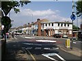
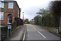
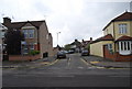
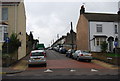
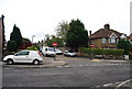
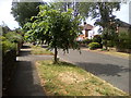
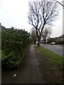
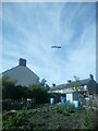
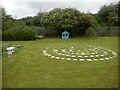
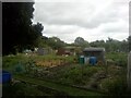
63 photos from this area
Area Information
Key information about the RM17 5UW including its size, population, and administrative classification.
- Area Type
- Postcode
- Area Size
- 1.3 hectares
- Population
- 1506
- Population Density
- 3937 people/km²
House Prices in RM17 5UW
18
Properties
£440,875
Average Sold Price
£90,000
Lowest Price
£785,000
Highest Price
Showing 18 properties
| Address | Type | Beds | Baths | Last Sale Price | Last Sale Date | |
|---|---|---|---|---|---|---|
| 13 College Avenue, Grays, RM17 5UW | Retail | 5 | 2 | £645,000 | Jul 2022 | |
| Fair Court, College Avenue, Grays, RM17 5UW | house | - | - | £425,000 | Jun 2021 | |
| 18 College Avenue, Grays, RM17 5UW | Detached | 5 | 1 | £585,000 | Feb 2021 | |
| 14 College Avenue, Grays, RM17 5UW | Detached | 4 | 2 | £750,000 | Sep 2020 | |
| 32 College Avenue, Grays, RM17 5UW | Detached | 4 | 2 | £785,000 | Oct 2018 | |
| 24 College Avenue, Grays, RM17 5UW | house | 4 | 2 | £466,500 | Apr 2018 | |
| 26 College Avenue, Grays, RM17 5UW | Semi-detached | 3 | 1 | £285,000 | Nov 2013 | |
| 22 College Avenue, Grays, RM17 5UW | house | 4 | - | £340,000 | Mar 2010 | |
| Dunsford House, College Avenue, Grays, RM17 5UW | house | - | - | £350,000 | Feb 2004 | |
| 28 College Avenue, Grays, RM17 5UW | Semi-detached | - | - | £329,000 | Sep 2003 |
Page 1 of 2
Energy Efficiency in RM17 5UW
Amenities
Schools
| Rank | School | Type | Entry gender | Ages |
|---|
Explore more schools in this area
Go to Schools tabDemographics
Household Size
Family (3-5 people)
most common
Accommodation Type
Houses
most common
Tenure
75
majority
Ethnic Group
White
most common
Religion
N/A
most common
Household Composition
N/A
most common
Age
47
median
Adults (30-64 years)
most common
Household Deprivation
N/A
with no deprivation
NS-SEC
35
in Lower managerial occupations
Explore more demographic insights in this area
Go to Demographics tabPlanning
Planning Constraints
- Flood RiskPremium
- Ramsar Wetland SitesPremium
- Area of Outstanding Natural BeautyPremium
- Protected Nature ReservePremium
- Protected WoodlandPremium