Area Overview for PE6 7AP
Photos of PE6 7AP
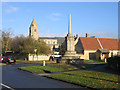
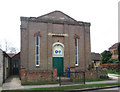
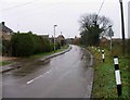
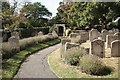
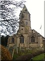
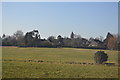
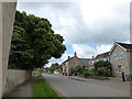
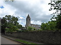
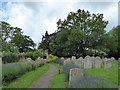
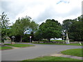
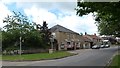
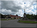
100 photos from this area
Area Information
Key information about the PE6 7AP including its size, population, and administrative classification.
- Area Type
- Postcode
- Area Size
- 5.2 hectares
- Population
- 1999
- Population Density
- 74 people/km²
House Prices in PE6 7AP
42
Properties
£222,288
Average Sold Price
£50,750
Lowest Price
£335,000
Highest Price
Showing 42 properties
| Address | Type | Beds | Baths | Last Sale Price | Last Sale Date | |
|---|---|---|---|---|---|---|
| 25 Towgood Close, Helpston, PE6 7AP | Detached | 4 | 2 | £335,000 | Aug 2023 | |
| 56 Towgood Close, Helpston, PE6 7AP | Flat | - | - | £60,800 | Dec 2022 | |
| 27 Towgood Close, Helpston, PE6 7AP | house | - | - | £330,000 | Mar 2021 | |
| 48 Towgood Close, Helpston, PE6 7AP | Flat | - | - | £137,000 | Oct 2020 | |
| 52 Towgood Close, Helpston, PE6 7AP | Flat | - | - | £50,750 | Nov 2019 | |
| 28 Towgood Close, Helpston, PE6 7AP | Detached | 4 | 2 | £275,000 | Sep 2019 | |
| 38 Towgood Close, Helpston, PE6 7AP | Terraced | 3 | 1 | £206,000 | Aug 2018 | |
| 46 Towgood Close, Helpston, PE6 7AP | Flat | 2 | 1 | £143,000 | Apr 2018 | |
| 32 Towgood Close, Helpston, PE6 7AP | Terraced | 3 | 2 | £186,500 | Nov 2017 | |
| 18 Towgood Close, Helpston, PE6 7AP | house | - | - | £229,950 | Mar 2015 |
Page 1 of 5
Energy Efficiency in PE6 7AP
Amenities
Schools
| Rank | School | Type | Entry gender | Ages |
|---|
Explore more schools in this area
Go to Schools tabDemographics
Household Size
Family (3-5 people)
most common
Accommodation Type
Houses
most common
Tenure
84
majority
Ethnic Group
White
most common
Religion
N/A
most common
Household Composition
N/A
most common
Age
47
median
Adults (30-64 years)
most common
Household Deprivation
N/A
with no deprivation
NS-SEC
48
in Lower managerial occupations
Explore more demographic insights in this area
Go to Demographics tabPlanning
Planning Constraints
- Flood RiskPremium
- Ramsar Wetland SitesPremium
- Area of Outstanding Natural BeautyPremium
- Protected Nature ReservePremium
- Protected WoodlandPremium