Area Overview for PE31 6TJ
Photos of PE31 6TJ
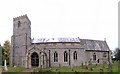
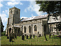
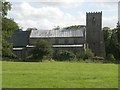
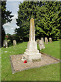
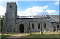

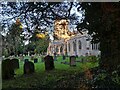
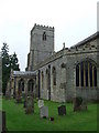
23 photos from this area
Area Information
Key information about the PE31 6TJ including its size, population, and administrative classification.
- Area Type
- Postcode
- Area Size
- 55.1 hectares
- Population
- 2135
- Population Density
- 28 people/km²
House Prices in PE31 6TJ
14
Properties
£324,285
Average Sold Price
£172,000
Lowest Price
£528,000
Highest Price
Showing 14 properties
| Address | Type | Beds | Baths | Last Sale Price | Last Sale Date | |
|---|---|---|---|---|---|---|
| The Coach House, Cross Street, Harpley, PE31 6TJ | Semi-detached | 4 | - | £528,000 | Jul 2019 | |
| 11 Cross Street, Harpley, PE31 6TJ | Detached | 3 | - | £245,000 | Nov 2015 | |
| 12-13 Cross Street, Harpley, PE31 6TJ | Semi-detached | 3 | 2 | £299,000 | Oct 2015 | |
| Pear Tree House, Cross Street, Harpley, PE31 6TJ | house | 6 | - | £480,000 | Sep 2012 | |
| Ravens Bank, Cross Street, Harpley, PE31 6TJ | Bungalow | 3 | - | £296,000 | Sep 2010 | |
| Grooms Cottage, Cross Street, Harpley, PE31 6TJ | Detached | - | - | £249,995 | Apr 2007 | |
| 15 Cross Street, Harpley, PE31 6TJ | house | - | - | £172,000 | Dec 2004 | |
| Forge View, Cross Street, Harpley, PE31 6TJ | Bungalow | - | - | - | - | |
| 4 Cross Street, Harpley, PE31 6TJ | undefined | - | - | - | - | |
| Ash Tree Cottage, 1 Cross Street, Harpley, PE31 6TJ | house | 3 | - | - | - |
Page 1 of 2
Energy Efficiency in PE31 6TJ
Amenities
Schools
| Rank | School | Type | Entry gender | Ages |
|---|
Explore more schools in this area
Go to Schools tabDemographics
Household Size
Two person
most common
Accommodation Type
Houses
most common
Tenure
68
majority
Ethnic Group
White
most common
Religion
N/A
most common
Household Composition
N/A
most common
Age
47
median
Adults (30-64 years)
most common
Household Deprivation
N/A
with no deprivation
NS-SEC
34
in Lower managerial occupations
Explore more demographic insights in this area
Go to Demographics tabPlanning
Planning Constraints
- Flood RiskPremium
- Ramsar Wetland SitesPremium
- Area of Outstanding Natural BeautyPremium
- Protected Nature ReservePremium
- Protected WoodlandPremium