Area Overview for PE31 6TH
Photos of PE31 6TH
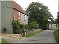
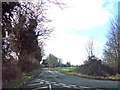
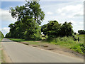
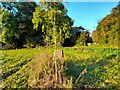
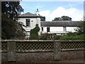
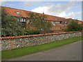
19 photos from this area
Area Information
Key information about the PE31 6TH including its size, population, and administrative classification.
- Area Type
- Postcode
- Area Size
- 65.1 hectares
- Population
- 2135
- Population Density
- 28 people/km²
House Prices in PE31 6TH
9
Properties
£359,000
Average Sold Price
£150,000
Lowest Price
£530,000
Highest Price
Showing 9 properties
| Address | Type | Beds | Baths | Last Sale Price | Last Sale Date | |
|---|---|---|---|---|---|---|
| 9, Manor Farm Barns, Rudham Road, Harpley, PE31 6TH | Semi-detached | 3 | 3 | £470,000 | Aug 2021 | |
| 7, Manor Farm Barns, Rudham Road, Harpley, PE31 6TH | house | - | - | £530,000 | Aug 2020 | |
| 11, Manor Farm Barns, Rudham Road, Harpley, PE31 6TH | Semi-detached | 4 | 2 | £400,000 | Dec 2009 | |
| 5, Manor Farm Barns, Rudham Road, Harpley, PE31 6TH | Terraced | - | - | £150,000 | Sep 2001 | |
| Manor Stables, Rudham Road, Harpley, PE31 6TH | Bungalow | - | - | £245,000 | Dec 2000 | |
| High Acre House, Rudham Road, Harpley, PE31 6TH | Detached | - | - | - | - | |
| Hillcrest, Rudham Road, Harpley, PE31 6TH | Detached | - | - | - | - | |
| Chestnut Byre, Rudham Road, Harpley, PE31 6TH | Semi-detached | - | - | - | - | |
| Manor Farm House, Back Street, Harpley, PE31 6TH | house | - | - | - | - |
Energy Efficiency in PE31 6TH
Amenities
Schools
| Rank | School | Type | Entry gender | Ages |
|---|
Explore more schools in this area
Go to Schools tabDemographics
Household Size
Two person
most common
Accommodation Type
Houses
most common
Tenure
68
majority
Ethnic Group
White
most common
Religion
N/A
most common
Household Composition
N/A
most common
Age
47
median
Adults (30-64 years)
most common
Household Deprivation
N/A
with no deprivation
NS-SEC
34
in Lower managerial occupations
Explore more demographic insights in this area
Go to Demographics tabPlanning
Planning Constraints
- Flood RiskPremium
- Ramsar Wetland SitesPremium
- Area of Outstanding Natural BeautyPremium
- Protected Nature ReservePremium
- Protected WoodlandPremium