Area Overview for PE2 8TD
Photos of PE2 8TD
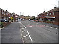
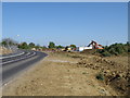
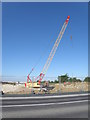
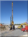
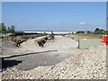
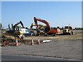
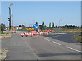
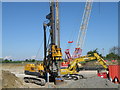
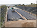
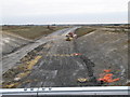
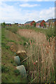
33 photos from this area
Area Information
Key information about the PE2 8TD including its size, population, and administrative classification.
- Area Type
- Postcode
- Area Size
- 5.1 hectares
- Population
- 1389
- Population Density
- 2804 people/km²
House Prices in PE2 8TD
64
Properties
£167,052
Average Sold Price
£21,250
Lowest Price
£385,000
Highest Price
Showing 64 properties
| Address | Type | Beds | Baths | Last Sale Price | Last Sale Date | |
|---|---|---|---|---|---|---|
| 136 Oakdale Avenue, Stanground, Peterborough, PE2 8TD | Semi-detached | 3 | 1 | £218,000 | Mar 2025 | |
| 104 Oakdale Avenue, Stanground, Peterborough, PE2 8TD | Semi-detached | 3 | 1 | £275,000 | Mar 2025 | |
| 96 Oakdale Avenue, Stanground, Peterborough, PE2 8TD | house | - | - | £240,000 | Aug 2024 | |
| 58 Oakdale Avenue, Stanground, Peterborough, PE2 8TD | Semi-detached | 3 | 2 | £278,000 | Sep 2023 | |
| 156 Oakdale Avenue, Stanground, Peterborough, PE2 8TD | Bungalow | 4 | 2 | £385,000 | Aug 2023 | |
| 68 Oakdale Avenue, Stanground, Peterborough, PE2 8TD | Semi-detached | 3 | 2 | £277,000 | Aug 2023 | |
| 130 Oakdale Avenue, Stanground, Peterborough, PE2 8TD | Retail | 3 | 1 | £305,000 | Jun 2022 | |
| 74 Oakdale Avenue, Stanground, Peterborough, PE2 8TD | house | - | - | £215,000 | Oct 2021 | |
| 166 Oakdale Avenue, Stanground, Peterborough, PE2 8TD | Bungalow | 2 | 1 | £230,000 | Jul 2020 | |
| 94 Oakdale Avenue, Stanground, Peterborough, PE2 8TD | Semi-detached | 3 | 1 | £190,000 | May 2020 |
Page 1 of 7
Energy Efficiency in PE2 8TD
Amenities
Schools
| Rank | School | Type | Entry gender | Ages |
|---|
Explore more schools in this area
Go to Schools tabDemographics
Household Size
Two person
most common
Accommodation Type
Houses
most common
Tenure
83
majority
Ethnic Group
White
most common
Religion
N/A
most common
Household Composition
N/A
most common
Age
47
median
Adults (30-64 years)
most common
Household Deprivation
N/A
with no deprivation
NS-SEC
30
in Lower managerial occupations
Explore more demographic insights in this area
Go to Demographics tabPlanning
Planning Constraints
- Flood RiskPremium
- Ramsar Wetland SitesPremium
- Area of Outstanding Natural BeautyPremium
- Protected Nature ReservePremium
- Protected WoodlandPremium