Area Overview for PE2 8GB
Photos of PE2 8GB
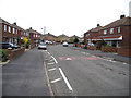
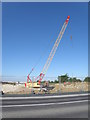
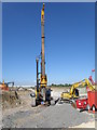
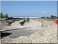
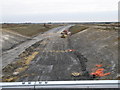
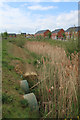
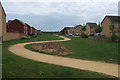
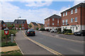
33 photos from this area
Area Information
Key information about the PE2 8GB including its size, population, and administrative classification.
- Area Type
- Postcode
- Area Size
- 2.3 hectares
- Population
- 1768
- Population Density
- 957 people/km²
House Prices in PE2 8GB
74
Properties
£189,039
Average Sold Price
£87,500
Lowest Price
£350,000
Highest Price
Showing 74 properties
| Address | Type | Beds | Baths | Last Sale Price | Last Sale Date | |
|---|---|---|---|---|---|---|
| 62 Apollo Avenue, Stanground South, Peterborough, PE2 8GB | Detached | 5 | 3 | £350,000 | Nov 2023 | |
| 90 Apollo Avenue, Stanground South, Peterborough, PE2 8GB | Semi-detached | 3 | 2 | £290,000 | May 2023 | |
| 58 Apollo Avenue, Stanground South, Peterborough, PE2 8GB | Semi-detached | 1 | 1 | £149,000 | Apr 2022 | |
| 50 Apollo Avenue, Stanground South, Peterborough, PE2 8GB | house | 3 | 1 | £127,000 | Jun 2021 | |
| 144 Apollo Avenue, Stanground South, Peterborough, PE2 8GB | Detached | 4 | 2 | £300,000 | Apr 2021 | |
| 138 Apollo Avenue, Stanground South, Peterborough, PE2 8GB | Detached | 4 | 3 | £302,000 | May 2019 | |
| 56 Apollo Avenue, Stanground South, Peterborough, PE2 8GB | Terraced | 1 | 1 | £120,000 | Mar 2019 | |
| 36 Apollo Avenue, Stanground South, Peterborough, PE2 8GB | Terraced | 1 | 1 | £130,000 | Jul 2018 | |
| 54 Apollo Avenue, Stanground South, Peterborough, PE2 8GB | Terraced | 1 | - | £115,000 | Jun 2017 | |
| 94 Apollo Avenue, Stanground South, Peterborough, PE2 8GB | Detached | 5 | 3 | £300,000 | Feb 2017 |
Page 1 of 8
Energy Efficiency in PE2 8GB
Amenities
Schools
| Rank | School | Type | Entry gender | Ages |
|---|
Explore more schools in this area
Go to Schools tabDemographics
Household Size
Family (3-5 people)
most common
Accommodation Type
Houses
most common
Tenure
68
majority
Ethnic Group
White
most common
Religion
N/A
most common
Household Composition
N/A
most common
Age
22
median
Adults (30-64 years)
most common
Household Deprivation
N/A
with no deprivation
NS-SEC
39
in Lower managerial occupations
Explore more demographic insights in this area
Go to Demographics tabPlanning
Planning Constraints
- Flood RiskPremium
- Ramsar Wetland SitesPremium
- Area of Outstanding Natural BeautyPremium
- Protected Nature ReservePremium
- Protected WoodlandPremium