Area Overview for PE13 4QQ
Photos of PE13 4QQ
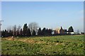
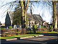
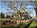
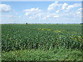
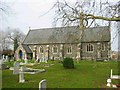
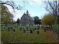
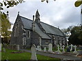
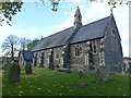
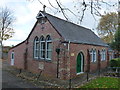
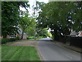
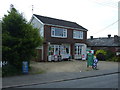
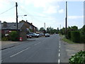
18 photos from this area
Area Information
Key information about the PE13 4QQ including its size, population, and administrative classification.
- Area Type
- Postcode
- Area Size
- 6.6 hectares
- Population
- 1723
- Population Density
- 91 people/km²
House Prices in PE13 4QQ
37
Properties
£166,615
Average Sold Price
£41,650
Lowest Price
£300,000
Highest Price
Showing 37 properties
| Address | Type | Beds | Baths | Last Sale Price | Last Sale Date | |
|---|---|---|---|---|---|---|
| A2, St Marks Road, Gorefield, PE13 4QQ | Bungalow | 3 | 1 | £300,000 | Mar 2025 | |
| 29 St Marks Road, Gorefield, PE13 4QQ | Bungalow | 3 | 1 | £235,000 | Nov 2024 | |
| 20 St Marks Road, Gorefield, PE13 4QQ | Bungalow | 3 | 1 | £190,000 | Aug 2024 | |
| 23 St Marks Road, Gorefield, PE13 4QQ | Bungalow | 3 | 1 | £190,000 | Aug 2024 | |
| 27 St Marks Road, Gorefield, PE13 4QQ | Bungalow | 3 | 1 | £158,000 | Apr 2024 | |
| 46 St Marks Road, Gorefield, PE13 4QQ | Bungalow | 3 | - | £210,000 | Dec 2023 | |
| 2 St Marks Road, Gorefield, PE13 4QQ | Bungalow | 3 | 1 | £255,000 | Jun 2021 | |
| Boundary House, 9 St Marks Road, Gorefield, PE13 4QQ | house | - | - | £280,000 | Feb 2021 | |
| 49 St Marks Road, Gorefield, PE13 4QQ | Bungalow | - | - | £192,000 | Feb 2018 | |
| 17 St Marks Road, Gorefield, PE13 4QQ | Detached | 3 | 1 | £175,000 | Feb 2018 |
Page 1 of 4
Energy Efficiency in PE13 4QQ
Amenities
Schools
| Rank | School | Type | Entry gender | Ages |
|---|
Explore more schools in this area
Go to Schools tabDemographics
Household Size
Two person
most common
Accommodation Type
Houses
most common
Tenure
84
majority
Ethnic Group
White
most common
Religion
N/A
most common
Household Composition
N/A
most common
Age
47
median
Adults (30-64 years)
most common
Household Deprivation
N/A
with no deprivation
NS-SEC
27
in Lower managerial occupations
Explore more demographic insights in this area
Go to Demographics tabPlanning
Planning Constraints
- Flood RiskPremium
- Ramsar Wetland SitesPremium
- Area of Outstanding Natural BeautyPremium
- Protected Nature ReservePremium
- Protected WoodlandPremium