Area Overview for PE13 4NJ
Photos of PE13 4NJ
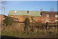
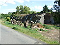
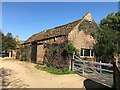
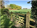
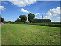

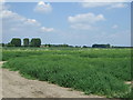
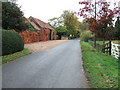
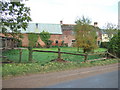
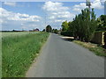
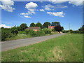
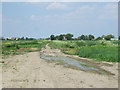
12 photos from this area
Area Information
Key information about the PE13 4NJ including its size, population, and administrative classification.
- Area Type
- Postcode
- Area Size
- 33.8 hectares
- Population
- 1723
- Population Density
- 91 people/km²
House Prices in PE13 4NJ
27
Properties
£246,208
Average Sold Price
£95,000
Lowest Price
£578,000
Highest Price
Showing 27 properties
| Address | Type | Beds | Baths | Last Sale Price | Last Sale Date | |
|---|---|---|---|---|---|---|
| Vicarage View, Gote Lane, Gorefield, PE13 4NJ | Bungalow | 4 | - | £265,000 | Sep 2021 | |
| 2 Gote Lane, Gorefield, PE13 4NJ | house | - | - | £190,000 | Jun 2021 | |
| The Old Vicarage, Gote Lane, Gorefield, PE13 4NJ | house | - | - | £578,000 | Mar 2021 | |
| 1 Gote Lane, Gorefield, PE13 4NJ | house | - | - | £245,000 | Feb 2021 | |
| Allitts Barn, Gote Lane, Gorefield, PE13 4NJ | house | - | - | £160,000 | Jan 2021 | |
| Barbers Farm, Gote Lane, Gorefield, PE13 4NJ | house | - | - | £225,000 | Jun 2020 | |
| Oxfield Farm, Gote Lane, Gorefield, PE13 4NJ | Detached | 3 | 2 | £370,000 | Feb 2020 | |
| 8 Gote Lane, Gorefield, PE13 4NJ | Detached | 4 | 2 | £196,500 | Jul 2017 | |
| A1, Gote Lane, Gorefield, PE13 4NJ | Chalet | 3 | 1 | £245,000 | Mar 2015 | |
| Stables Cottage, Gote Lane, Gorefield, PE13 4NJ | Land | 3 | - | £230,000 | Jan 2012 |
Page 1 of 3
Energy Efficiency in PE13 4NJ
Amenities
Schools
| Rank | School | Type | Entry gender | Ages |
|---|
Explore more schools in this area
Go to Schools tabDemographics
Household Size
Two person
most common
Accommodation Type
Houses
most common
Tenure
84
majority
Ethnic Group
White
most common
Religion
N/A
most common
Household Composition
N/A
most common
Age
47
median
Adults (30-64 years)
most common
Household Deprivation
N/A
with no deprivation
NS-SEC
27
in Lower managerial occupations
Explore more demographic insights in this area
Go to Demographics tabPlanning
Planning Constraints
- Flood RiskPremium
- Ramsar Wetland SitesPremium
- Area of Outstanding Natural BeautyPremium
- Protected Nature ReservePremium
- Protected WoodlandPremium