Area Overview for NR9 5RT
Photos of NR9 5RT
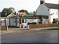
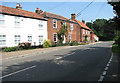
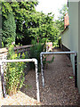
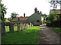
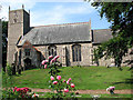
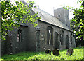
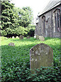
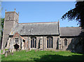
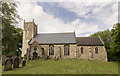
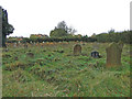
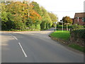
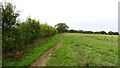
47 photos from this area
Area Information
Key information about the NR9 5RT including its size, population, and administrative classification.
- Area Type
- Postcode
- Area Size
- 1.6 hectares
- Population
- 2468
- Population Density
- 74 people/km²
House Prices in NR9 5RT
25
Properties
£190,904
Average Sold Price
£59,500
Lowest Price
£375,000
Highest Price
Showing 25 properties
| Address | Type | Beds | Baths | Last Sale Price | Last Sale Date | |
|---|---|---|---|---|---|---|
| 5 Heath Road, Lyng, NR9 5RT | Flat | - | - | £138,000 | Oct 2023 | |
| Beanacre, Heath Road, Lyng, NR9 5RT | Semi-detached | 2 | 1 | £335,000 | Nov 2022 | |
| Lyng Barn, Heath Road, Lyng, NR9 5RT | Detached | 1 | 1 | £375,000 | Feb 2014 | |
| 10 Heath Road, Lyng, NR9 5RT | Bungalow | 3 | - | £165,000 | Jun 2013 | |
| Bakery Cottage, Heath Road, Lyng, NR9 5RT | house | - | - | £143,000 | Oct 2012 | |
| 11 Heath Road, Lyng, NR9 5RT | house | - | - | £122,500 | Dec 2011 | |
| Witchways, Heath Road, Lyng, NR9 5RT | house | - | - | £249,950 | Jun 2010 | |
| 27 Heath Road, Lyng, NR9 5RT | house | - | - | £150,000 | Dec 2009 | |
| 8 Heath Road, Lyng, NR9 5RT | Bungalow | - | - | £174,950 | Aug 2009 | |
| Daisy Bank, 23 Heath Road, Lyng, NR9 5RT | Detached | 4 | 2 | £318,000 | Aug 2007 |
Page 1 of 3
Energy Efficiency in NR9 5RT
Amenities
Schools
| Rank | School | Type | Entry gender | Ages |
|---|
Explore more schools in this area
Go to Schools tabDemographics
Household Size
Two person
most common
Accommodation Type
Houses
most common
Tenure
78
majority
Ethnic Group
White
most common
Religion
N/A
most common
Household Composition
N/A
most common
Age
47
median
Adults (30-64 years)
most common
Household Deprivation
N/A
with no deprivation
NS-SEC
35
in Lower managerial occupations
Explore more demographic insights in this area
Go to Demographics tabPlanning
Planning Constraints
- Flood RiskPremium
- Ramsar Wetland SitesPremium
- Area of Outstanding Natural BeautyPremium
- Protected Nature ReservePremium
- Protected WoodlandPremium